
Santo Stefano d'Aveto, the ski resort in the hinterland
Santo Stefano d’Aveto, the ski resort in the hinterland.
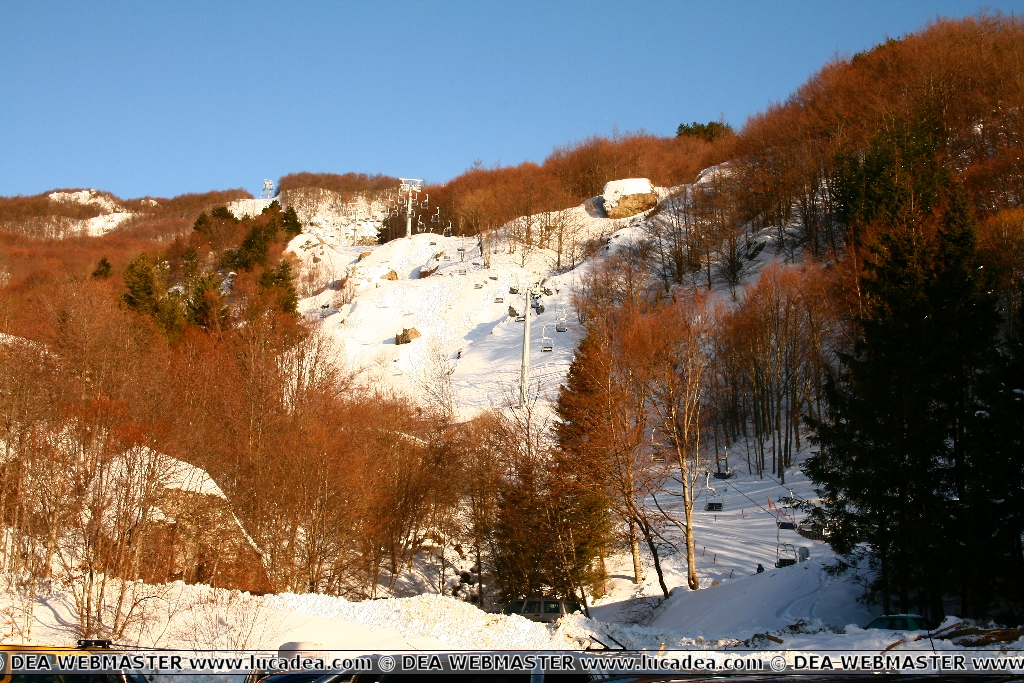
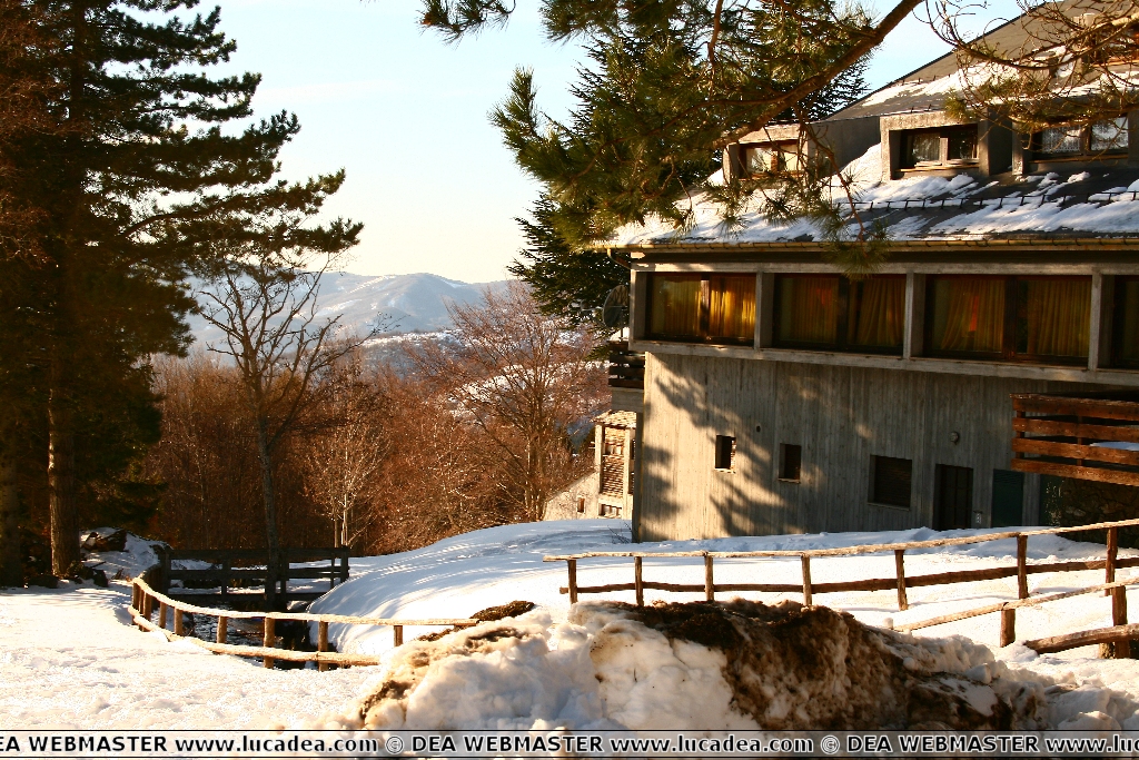
On Saturday I finally went to Santo Stefano.
Unfortunately an electrical problem with the car made me want to go home quickly without the possibility of taking some photos in the village.
There was really a lot of snow in Rocca d'Aveto!!!
However, I went to the start of the ski lifts and took a couple of photos.
Do you know the location?
Add your own comment or go to the bottom of the site to read what other visitors have written.
Where is this location:
The municipality is located in the Aveto valley, near the Aveto river, in an alpine basin dominated by the summit of Mount Maggiorasca (1,809 m) and Mount Bue (1,775 m). Situated at 1,012 m above sea level to the east of Genoa. From the town and the various hamlets, various naturalistic excursions are possible towards Mount Groppo Rosso (1,592 m), Mount Roncalla (1,658 m), Maggiorasca (1,804 m), Mount Penna (1,735 m) – reachable from the town of Casoni – and Mount Aiona (1,702 m); the latter can be reached from the hamlet of Amborzasco. Its territory is part of the Aveto Regional Natural Park.
Continue on Wikipedia
Santo Stefano d’Aveto, the ski resort in the hinterland – Santo Stefano d’Aveto, la station de ski de l’arrière-pays – Santo Stefano d’Aveto, la estación de esquí en el interior – Santo Stefano d’Aveto, a estância de esqui no interior – Santo Stefano d’Aveto, das Skigebiet im Hinterland – Santo Stefano d’Aveto, khu nghỉ dưỡng trượt tuyết ở vùng đất xa xôi
Add your own comment to this post or read here what other visitors have written.
I took a lot of photos in my region, Liguria, and you can find almost all of them here or by searching in the various article specific to the region.
If you want to find some ideas or learn more about Liguria, I refer you to the Liguria Region Tourism website: lamialiguria.it. This is the institutional website of the Region: regione.liguria.it.
If you are passionate about trails I invite you to read the guide: I 50 sentieri più belli della Liguria or Sentieri sul mare. If you are passionate about mysteries and legends then I suggest these books: Liguria magica e misteriosa and also Liguria nascosta e dimenticata.
Have fun!
To learn more about our privacy and cookies policy, go to the bottom of the site.
This page has had 30 views total.