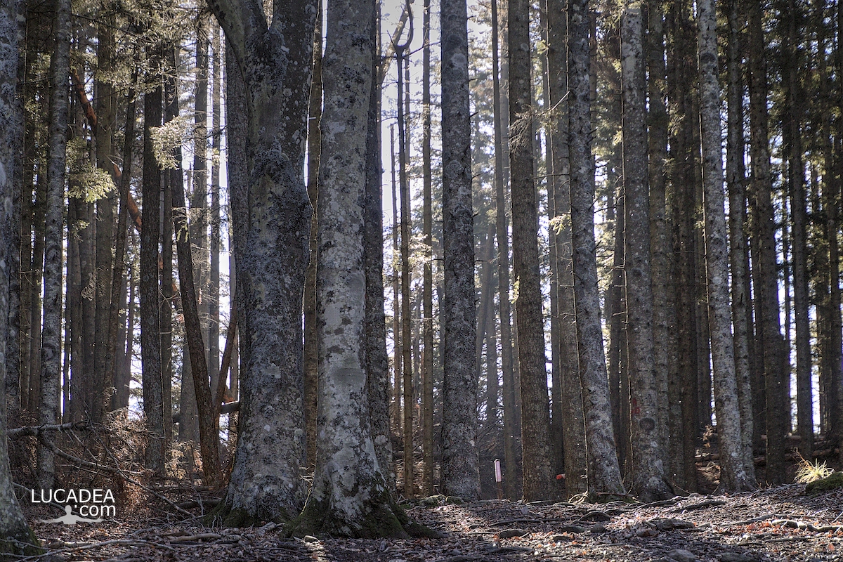
From inside the beech forest of Monte Zatta

Dall'interno della faggeta del Monte Zatta

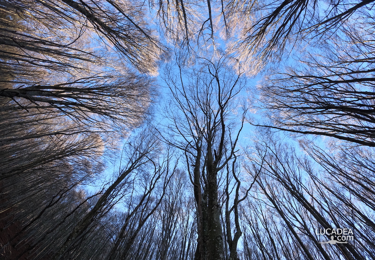
From inside the beech forest of Monte Zatta.
Some time ago I walked the beautiful path that leads from Passo del Bocco to the top of Monte Zatta. Well before reaching the top you cross the splendid beech forest (one of the largest in Liguria) inside which I took this beautiful wide-angle photo.

Have you ever walked this trail?
Add your own comment or go to the bottom of the site to read what other visitors have written.

Dall'interno della faggeta del Monte Zatta

Photo taken with Gopro Hero 10 black.

I took several photos along the Monte Zatta path and if you want to see them go to this page:

To see in detail the path I took I invite you to go to wikiloc.com.

The summit of the Zatta mountain massif consists of a long wavy ridge, crossed by an easy ridge path. On the outer edges of this ridge are the Zatta di Ponente mountain (1355 m) and the Prato Pinello mountain (1390 m). Between the two ends rises the main peak, the Zatta di Levante mountain (1404 m). The southern slope is steep and stony, while the northern slope, towards the Bocco pass, has a gentler slope and is covered by a large beech forest.
Continue and learn more on Wikipedia

The beech trees of Monte Zatta in Liguria – Les hêtres du Monte Zatta en Ligurie – Las hayas del Monte Zatta en Liguria – As faias do Monte Zatta na Ligúria – Die Buchen des Monte Zatta in Ligurien – Những cây sồi ở Monte Zatta ở Liguria – 利古里亚蒙特扎塔山毛榉树 – リグリアのモンテザッタのブナの木

The beech trees of Mount Zatta in Liguria

Gli alberi di faggio del Monte Zatta in Liguria

The beech trees of Monte Zatta in Liguria.
Truly a beautiful path that of Monte Zatta that crosses one of the most beautiful and largest beech forests in Liguria (and perhaps in Italy). I really enjoyed photographing the light that filters through the straight trunks of these trees.

Have you ever been on this trail?
Add your own comment or go to the bottom of the site to read what other visitors have written.

Gli alberi di faggio del Monte Zatta in Liguria

Photo taken with Canon EOS M100 and lens Tamron 16-300.

I took several photos along the Monte Zatta path and if you want to see them go to this page:

To see in detail the path I took I invite you to go to wikiloc.com.

The summit of the Zatta mountain massif consists of a long wavy ridge, crossed by an easy ridge path. On the outer edges of this ridge are the Zatta di Ponente mountain (1355 m) and the Prato Pinello mountain (1390 m). Between the two ends rises the main peak, the Zatta di Levante mountain (1404 m). The southern slope is steep and stony, while the northern slope, towards the Bocco pass, has a gentler slope and is covered by a large beech forest.
Continue and learn more on Wikipedia
The beech trees of Monte Zatta in Liguria – Les hêtres du Monte Zatta en Ligurie – Las hayas del Monte Zatta en Liguria – As faias do Monte Zatta na Ligúria – Die Buchen des Monte Zatta in Ligurien – Những cây sồi ở Monte Zatta ở Liguria – 利古里亚蒙特扎塔山毛榉树 – リグリアのモンテザッタのブナの木

The colored houses in via Milite Ignoto in Riva Trigoso

Le case colorate in via Brin a Riva Trigoso

The colored houses in via Milite Ignoto in Riva Trigoso.
The houses that overlook the seafront of Riva Trigoso di Ponente (via Benedetto Brin) are splendid on the facade that looks out onto the sea but they are equally so on the back where they overlook the street dedicated to the Unknown Soldier.

Do you know Riva Trigoso?
Add your own comment or go to the bottom of the site to read what other visitors have written.

Le case colorate in via Brin a Riva Trigoso

Photo taken with Honor 20.

The colorful houses in via Milite Ignoto in Riva Trigoso – Les maisons colorées de via Milite Ignoto à Riva Trigoso – Las casas de colores en via Milite Ignoto en Riva Trigoso – As casas coloridas na via Milite Ignoto em Riva Trigoso – Die bunten Häuser in der Via Milite Ignoto in Riva Trigoso – Những ngôi nhà đầy màu sắc trong qua Milite lờto ở Riva Trigoso – 里瓦特里戈索的 Via Milite Ignoto 色彩缤纷的房子 – RivaTrigosoのMiliteIgnoto経由のカラフルな家

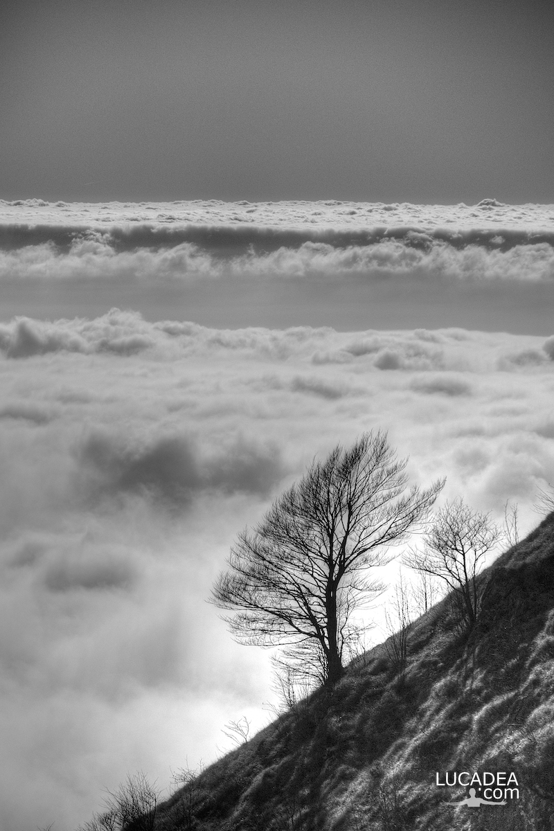
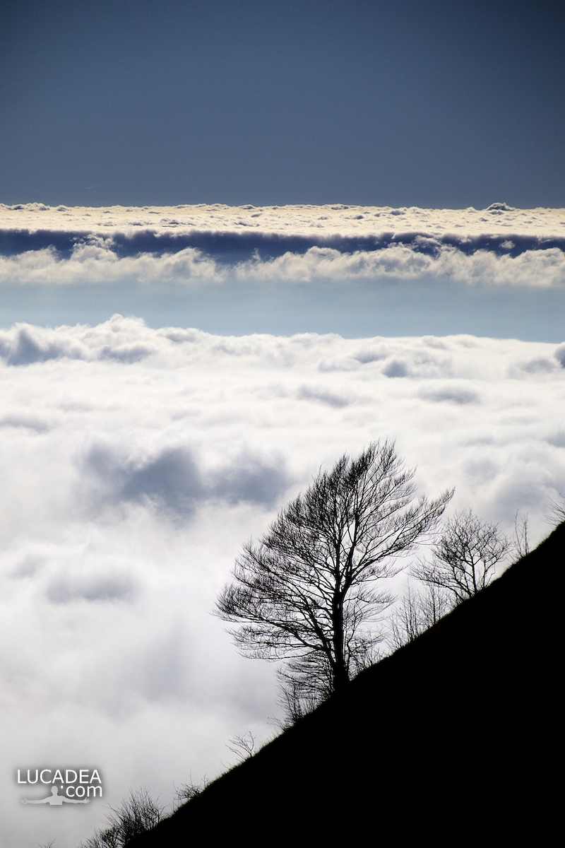
Un albero sulle nuvole dal Monte Zatta

Un albero con alle spalle un tappeto di nuvole visto dal Monte Zatta

Un albero con alle spalle un tappeto di nuvole visto dal Monte Zatta.
Diverso tempo fa ho percorso lo splendido sentiero del Monte Zatta con partenda dal Passo del Bocco.
Uno dei sentieri più belli che abbia mai percorso.
Sulla cima c’era quest’albero con alle spalle tutte queste nuvole che sembravano un tappeto!
Ho scattato due foto: a colori ed in bianco e nero.

Have you ever been on this trail? Add a comment or go to the bottom of the site to read what other visitors have written.

Photo taken with Canon EOS M100 and lens Tamron 16-300.

I took several photos along the Monte Zatta path and if you want to see them go to this page:

To see in detail the path I took I invite you to go to wikiloc.com.

The summit of the Zatta mountain massif consists of a long wavy ridge, crossed by an easy ridge path. On the outer edges of this ridge are the Zatta di Ponente mountain (1355 m) and the Prato Pinello mountain (1390 m). Between the two ends rises the main peak, the Zatta di Levante mountain (1404 m). The southern slope is steep and stony, while the northern slope, towards the Bocco pass, has a gentler slope and is covered by a large beech forest.
Continue and learn more on Wikipedia
A tree with a carpet of clouds behind it seen from Monte Zatta – Un arbre avec un tapis de nuages ​​derrière vu de Monte Zatta – Un árbol con una alfombra de nubes detrás visto desde Monte Zatta – Uma árvore com um tapete de nuvens atrás vista do Monte Zatta – Ein Baum mit einem Wolkenteppich dahinter vom Monte Zatta aus gesehen – Cây với thảm mây phía sau nhìn từ Monte Zatta – 从 Monte Zatta 看到的一棵树,背后有一层云层 – モンテザッタから見た背後に雲のカーペットがある木

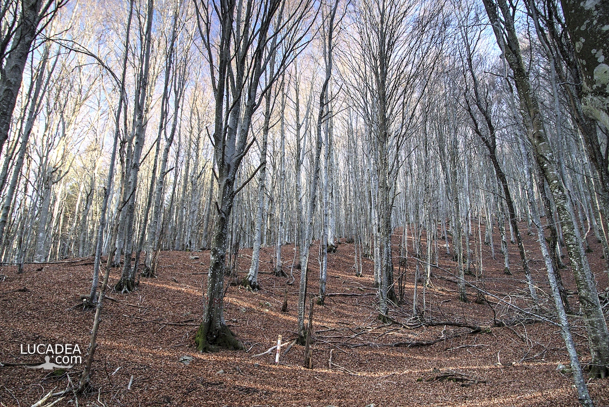
Le fronde degli alberi nella faggeta del Monte Zatta

Le fronde degli alberi nella faggeta del Monte Zatta

Le fronde degli alberi nella faggeta del Monte Zatta.
Qualche mese fa ormai (a fine novembre) sono stato sul Monte Zatta e ho percorso il sentiero da anello che parte dal Passo del Bocco.
Veramente una bella passeggiata di circa dieci chilometri (che ho percorso in cinque ore senza correre) che attraversa il bellissimo bosco quasi interamente composto da faggi. Una delle più belle faggete di Liguria.

Sei mai stato su questo sentiero? Se hai domande oppure se vuoi farmi sapere la tua opinione su questo articolo lascia un commento cliccando here.

Le fronde degli alberi nella faggeta del Monte Zatta

Photo taken with Gopro Hero 10 black.

I took several photos along the Monte Zatta path and if you want to see them go to this page:

To see in detail the path I took I invite you to go to wikiloc.com.

The summit of the Zatta mountain massif consists of a long wavy ridge, crossed by an easy ridge path. On the outer edges of this ridge are the Zatta di Ponente mountain (1355 m) and the Prato Pinello mountain (1390 m). Between the two ends rises the main peak, the Zatta di Levante mountain (1404 m). The southern slope is steep and stony, while the northern slope, towards the Bocco pass, has a gentler slope and is covered by a large beech forest.
Continue and learn more on Wikipedia

The fronds of the trees in the beech forest of Monte Zatta – Les frondes des arbres dans la forêt de hêtres de Monte Zatta – Las frondas de los árboles en el hayedo de Monte Zatta – Die Wedel der Bäume im Buchenwald des Monte Zatta – Lá cây trong rừng sồi ở Monte Zatta

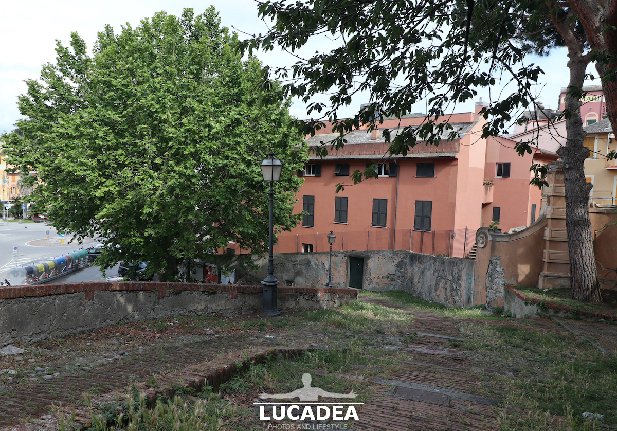
The ancient Via Cittadella on the Sestri Peninsula

Via Cittadella a Sestri Levante

The ancient Via Cittadella on the Sestri Levante Peninsula.
When you go up to the “Island” of Sestri Levante and you want to visit San Nicolò, you can also go down this narrow and steep creuza, which is called Via Cittadella, which takes you to Piazza Giacomo Matteotti.
When you almost get to the bottom you see this beautiful enormous tree and every time I ask myself: who knows how old it is?

Maybe some reader knows and can write it to me in the comments.
Add your own comment or go to the bottom of the site to read what other visitors have written.

Via Cittadella a Sestri Levante

Photo taken with Canon EOS M100 and lens Canon EF-S 10-18.

Here is the spot where I took this photo:

The ancient street called Cittadella on the Sestri Levante Peninsula – L’ancienne rue appelée Cittadella sur la péninsule de Sestri Levante – La antigua calle llamada Cittadella en la península de Sestri Levante – A antiga rua chamada Cittadella na Península de Sestri Levante – Die alte Straße namens Cittadella auf der Halbinsel Sestri Levante – Con phố cổ mang tên Cittadella trên bán đảo Sestri Levante – 塞斯特里莱万特半岛上名为 Cittadella 的古老街道 – セストリ・レバンテ半島のチッタデッラと呼ばれる古代の通り

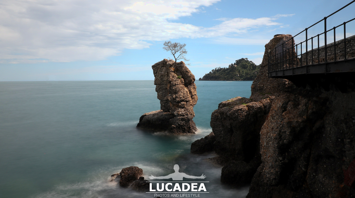
L’albero su scoglio tra Santa e Portofino

L'albero su scoglio tra Santa e Portofino

L’albero su scoglio tra Santa e Portofino.
Se si vuol fare una bella camminata tranquilla ed immersi nel mare consiglio a tutti la passeggiata tra Santa Margherita Ligure e Portofino.
Passeggiando, quasi a metà percorso, si incontra questo scoglio con un albero sopra che è stato eletto come simbolo e ricordo della furiosa mareggiata che ha sferzato (e seriamente danneggiato) questo tratto di costa ligure durante il 29 ed il 30 ottobre 2018.

L'albero su scoglio tra Santa e Portofino

L'albero su scoglio tra Santa e Portofino

Photo taken with Canon EOS M100 and lens Canon EF-S 10-18.

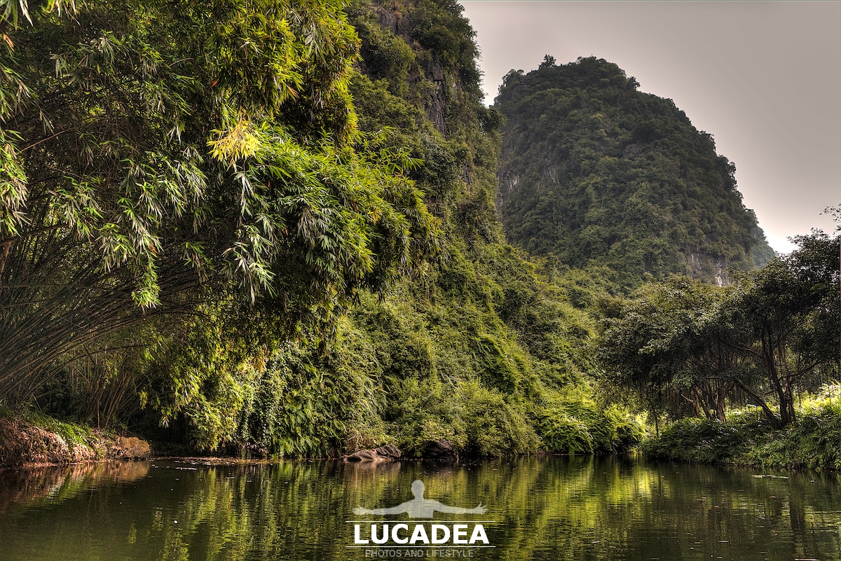
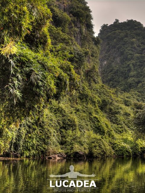
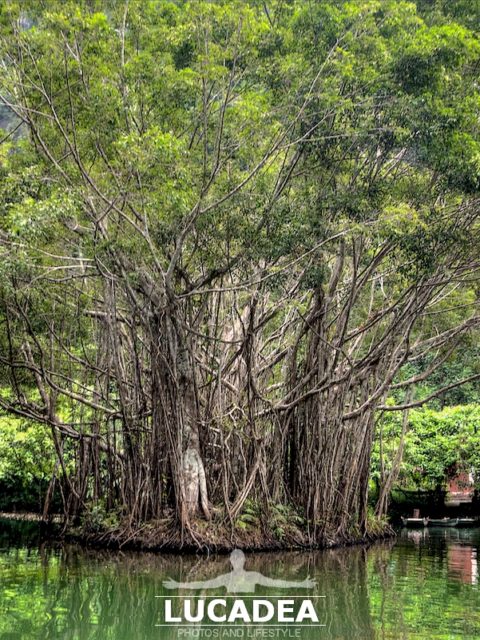
La natura quasi incontaminata del Vietnam

La natura quasi incontaminata del Vietnam

La natura quasi incontaminata del Vietnam.
Nella mia vacanza, di ormai un anno fa, in Vietnam mi ha lasciato nella memoria ma anche in archivio, decine di fotografie di posti magnifici, nei quali la natura la fa ancora da padrone.
Questo, ad esempio, era il parco a Trang An nella regione di Ninh Binh dove a bordo di piccole barchette si attraversano laghi e corsi d’acqua attraverso grotte e paesaggi mozzafiato di cui vi lascio un paio di foto.
Non a caso il sito è dal 2014 patrimonio dell’UNESCO (here per la loro pagina in inglese dedicata a questo luogo).

Conosci o sei mai stato in Vietnam? Lascia un commento cliccandohere.

Photo taken withCanon EOS M100 and lensTamron 16-300.

Click here per vedere tutte le foto scattate in questo luogo:
foto gallery

Here's where the park is located:

The almost uncontaminated nature of Vietnam – La nature presque intacte du Vietnam – La naturaleza casi incontaminada de Vietnam – A natureza quase incontaminada do Vietnã – Die nahezu unberührte Natur Vietnams – Thiên nhiên gần như không bị ô nhiễm của Việt Nam – 越南几乎未受污染的自然环境 – ベトナムのほとんど汚染されていない自然

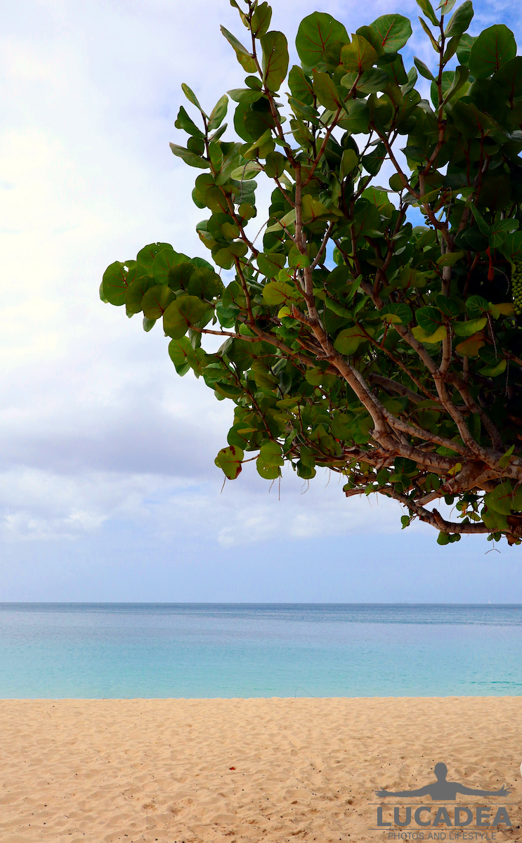
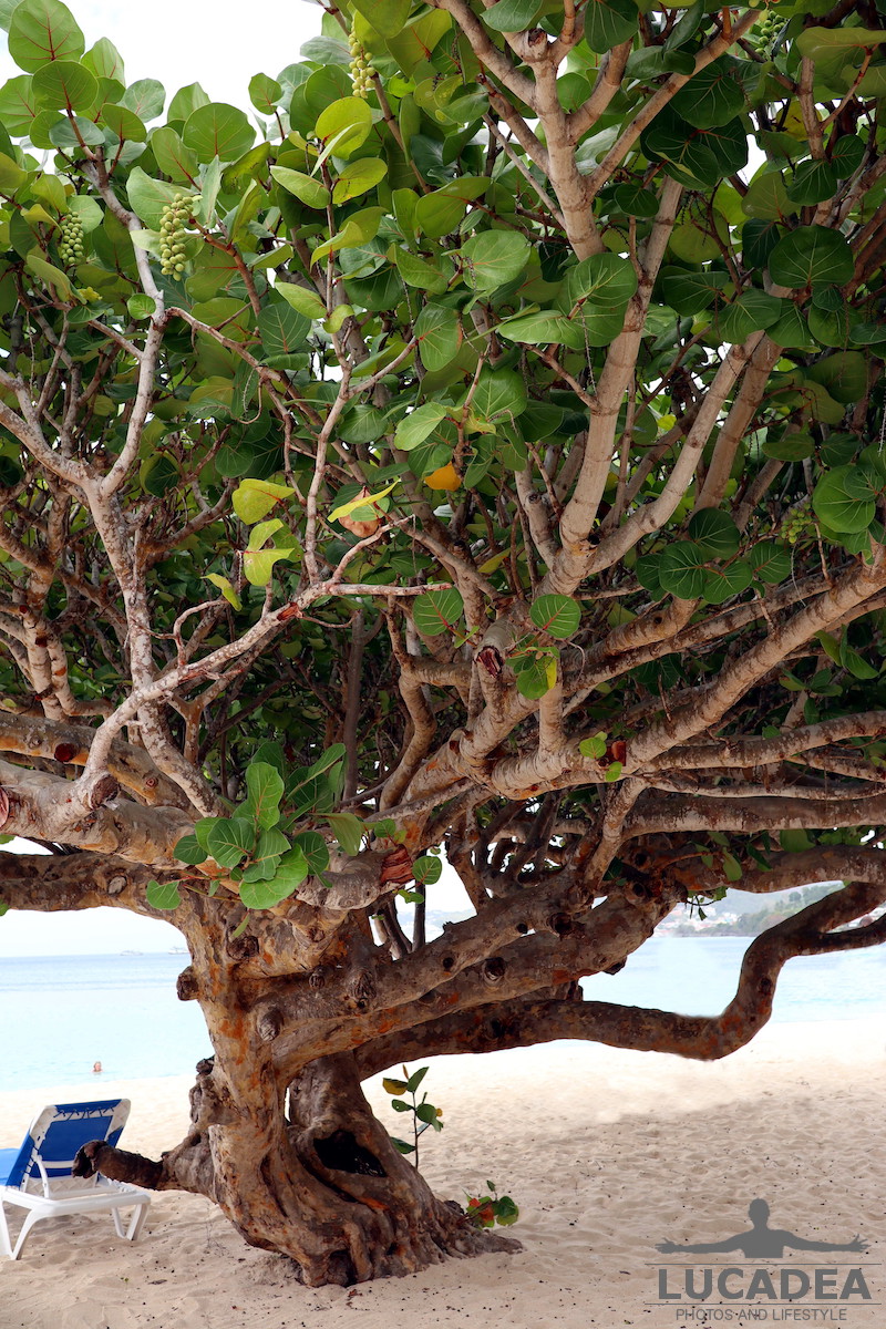
Albero in spiaggia a Grenada

Albero in spiaggia a Grenada 1

Albero in spiaggia a Grenada.
Una delle spiagge piu’ belle di Grenada e’ sicuramente quella di Grand Anse nella quale fanno capolino alcune piante di mangrovie.
Questa foto, che ho elaborato un pochino per rimuovere alcune persone che facevano il bagno, mi piaceva proprio moltissimo.
A voi non fa proprio venire voglia di coricarvi alla sua ombra e fare un pisolino dopo un bagno in mare?
Io, qualche settimana fa sono proprio riuscito a farlo, godendo di questo posto magnifico. Vi invito a prenotare una crociera Costa ai Caraibi per l’anno prossimo e forse anche voi potrete vedere questo splendido albero in spiaggia!

Se hai domande oppure se vuoi farmi sapere la tua opinione su questo articolo lascia un commento cliccando here.

Albero in spiaggia a Grenada 1

Photo taken with Canon EOS M100 and lens Canon EF-M 22.

La mangrovia è una formazione vegetale (o forestale), costituita da piante prevalentemente legnose, che si sviluppa sui litorali bassi delle coste marine tropicali, in particolare nella fascia periodicamente sommersa dalla marea.
Continue and learn more on Wikipedia.

Un albero di mangrovia in spiaggia a Grenada

Albero in spiaggia a Grenada 2

Un albero di mangrovia in spiaggia a Grenada.
Una delle spiagge piu’ belle di Grenada e’ sicuramente quella di Grand Anse nella quale fanno capolino alcune piante di mangrovie.
Ho gia pubblicato una foto di questo albero di mangrovia che offre un poco di ombra nella bellissima spiaggia.
Era proprio una bella foto da scattare!

Non ti pare? Aggiungi un comment or go to the bottom of the site to read what other visitors have written.

Albero in spiaggia a Grenada 2

Photo taken with Canon EOS M100 and lens Canon EF-M 22.

La mangrovia è una formazione vegetale (o forestale), costituita da piante prevalentemente legnose, che si sviluppa sui litorali bassi delle coste marine tropicali, in particolare nella fascia periodicamente sommersa dalla marea.
Continue and learn more on Wikipedia
A mangrove tree at the beach in Grenada – Un palétuvier sur la plage de Grenade – Un manglar en la playa de Granada – Uma árvore de mangais na praia de Granada – Ein Mangrovenbaum am Strand in Grenada – Cây ngập mặn ở bãi biển Grenada