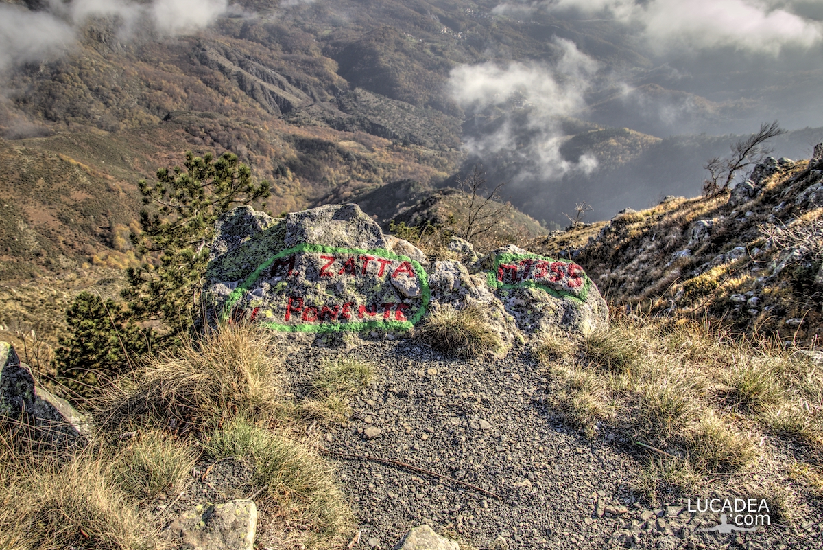
One of the peaks of Mount Zatta on the Alta Via dei monti liguri.
the western peak of Mount Zatta, which is located at 1355 meters above sea level, offers a truly spectacular view.
It is one of the most beautiful paths I have ever walked and runs along a stretch of the Alta Via (AV) of the Ligurian mountains.
Have you ever walked this trail?
Add your own comment or go to the bottom of the site to read what other visitors have written.
Photo taken with Canon EOS M100 and lens Tamron 16-300.
I took several photos along the Monte Zatta path and if you want to see them go to this page:

To see in detail the path I took I invite you to go to wikiloc.com.
Here's where the top is:
The summit of the Zatta mountain massif consists of a long wavy ridge, crossed by an easy ridge path. On the outer edges of this ridge are the Zatta di Ponente mountain (1355 m) and the Prato Pinello mountain (1390 m). Between the two ends rises the main peak, the Zatta di Levante mountain (1404 m). The southern slope is steep and stony, while the northern slope, towards the Bocco pass, has a gentler slope and is covered by a large beech forest.
Continue and learn more on Wikipedia

