From inside the beech forest of Monte Zatta

Dall'interno della faggeta del Monte Zatta

From inside the beech forest of Monte Zatta.
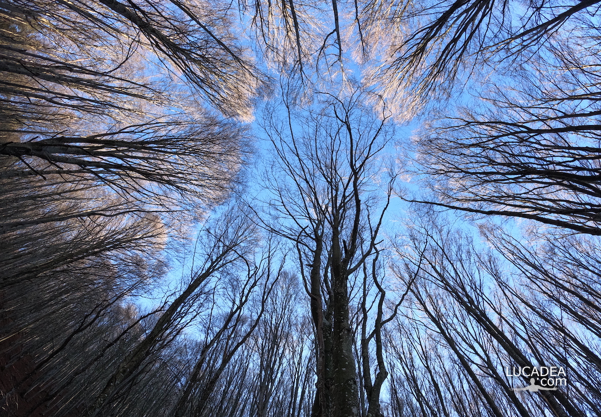
Some time ago I walked the beautiful path that leads from Passo del Bocco to the top of Monte Zatta. Well before reaching the top you cross the splendid beech forest (one of the largest in Liguria) inside which I took this beautiful wide-angle photo.

Have you ever walked this trail?
Add your own comment or go to the bottom of the site to read what other visitors have written.

Dall'interno della faggeta del Monte Zatta

Photo taken with Gopro Hero 10 black.

I took several photos along the Monte Zatta path and if you want to see them go to this page:

To see in detail the path I took I invite you to go to wikiloc.com.

The summit of the Zatta mountain massif consists of a long wavy ridge, crossed by an easy ridge path. On the outer edges of this ridge are the Zatta di Ponente mountain (1355 m) and the Prato Pinello mountain (1390 m). Between the two ends rises the main peak, the Zatta di Levante mountain (1404 m). The southern slope is steep and stony, while the northern slope, towards the Bocco pass, has a gentler slope and is covered by a large beech forest.
Continue and learn more on Wikipedia

The beech trees of Monte Zatta in Liguria – Les hêtres du Monte Zatta en Ligurie – Las hayas del Monte Zatta en Liguria – As faias do Monte Zatta na Ligúria – Die Buchen des Monte Zatta in Ligurien – Những cây sồi ở Monte Zatta ở Liguria – 利古里亚蒙特扎塔山毛榉树 – リグリアのモンテザッタのブナの木

Le fronde degli alberi nella faggeta del Monte Zatta

Le fronde degli alberi nella faggeta del Monte Zatta

Le fronde degli alberi nella faggeta del Monte Zatta.
Qualche mese fa ormai (a fine novembre) sono stato sul Monte Zatta e ho percorso il sentiero da anello che parte dal Passo del Bocco.
Veramente una bella passeggiata di circa dieci chilometri (che ho percorso in cinque ore senza correre) che attraversa il bellissimo bosco quasi interamente composto da faggi. Una delle più belle faggete di Liguria.

Sei mai stato su questo sentiero? Se hai domande oppure se vuoi farmi sapere la tua opinione su questo articolo lascia un commento cliccando here.

Le fronde degli alberi nella faggeta del Monte Zatta

Photo taken with Gopro Hero 10 black.

I took several photos along the Monte Zatta path and if you want to see them go to this page:

To see in detail the path I took I invite you to go to wikiloc.com.

The summit of the Zatta mountain massif consists of a long wavy ridge, crossed by an easy ridge path. On the outer edges of this ridge are the Zatta di Ponente mountain (1355 m) and the Prato Pinello mountain (1390 m). Between the two ends rises the main peak, the Zatta di Levante mountain (1404 m). The southern slope is steep and stony, while the northern slope, towards the Bocco pass, has a gentler slope and is covered by a large beech forest.
Continue and learn more on Wikipedia
The fronds of the trees in the beech forest of Monte Zatta – Les frondes des arbres dans la forêt de hêtres de Monte Zatta – Las frondas de los árboles en el hayedo de Monte Zatta – Die Wedel der Bäume im Buchenwald des Monte Zatta – Lá cây trong rừng sồi ở Monte Zatta

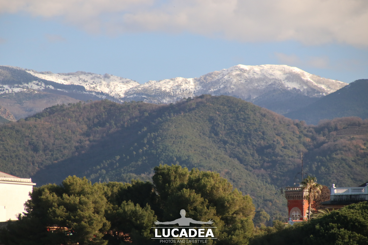
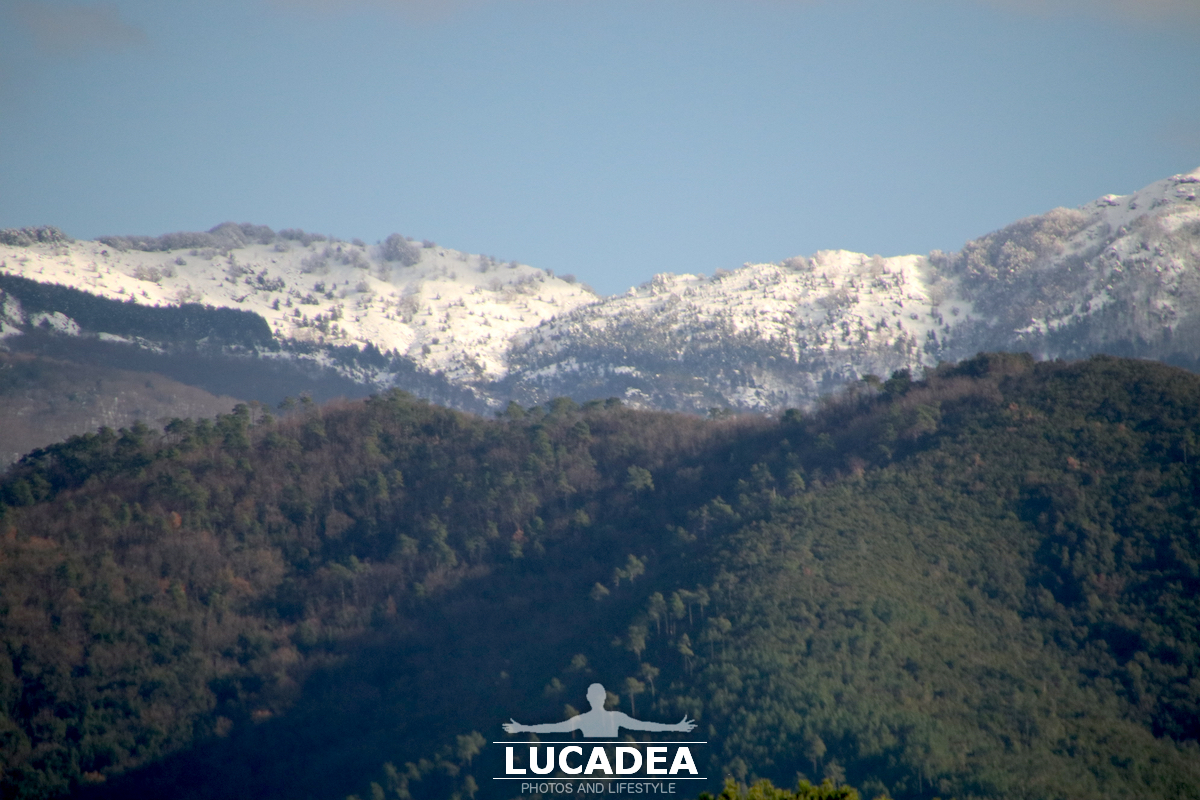
Le montagne innevate alle spalle di Sestri Levante

Montagne innevate alle spalle di Sestri Levante

Montagne innevate alle spalle di Sestri Levante.
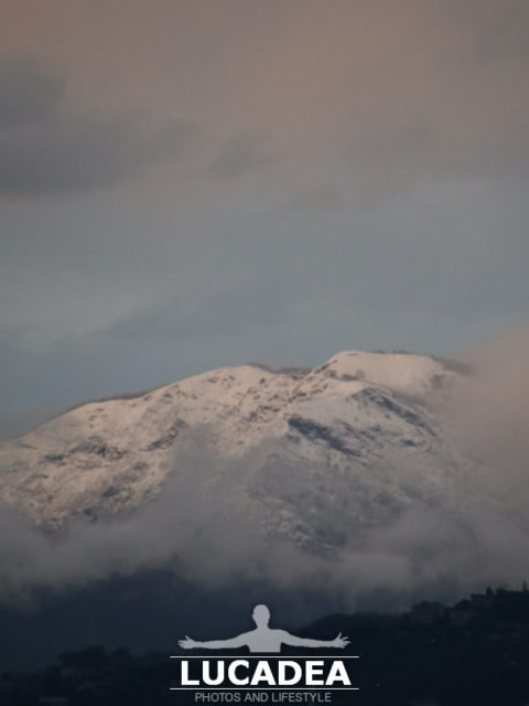
In questo inverno decisamente freddo molta neve è caduta e continua a tingere di bianco le montagne che sono alle spalle della mia cittadina.
Questa piccola catena montuosa (forse il monte Treggin?) è rimasta bianca nonostante da un paio di giorni non sia più nevicato e con il sole regalano una bellezza insolita alla mia Sestri e alla baia delle Favole.

Hai mai visto la neve da Sestri? Aggiungi un comment or go to the bottom of the site to read what other visitors have written.

Montagne innevate alle spalle di Sestri Levante

Montagne innevate alle spalle di Sestri Levante

Montagne innevate alle spalle di Sestri Levante

Photo taken with Canon EOS M100 and lens Tamron 16-300.

The snow-capped mountains behind Sestri Levante – Les montagnes enneigées derrière Sestri Levante – Las montañas nevadas detrás de Sestri Levante – As montanhas cobertas de neve atrás de Sestri Levante – Die schneebedeckten Berge hinter Sestri Levante – Những ngọn núi phủ tuyết phía sau Sestri Levante

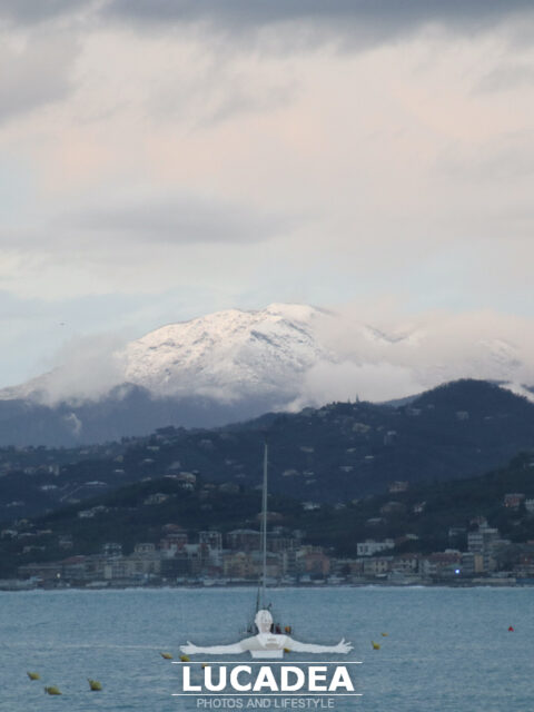
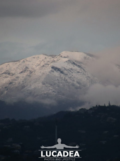
Il Monte Ramaceto fotografato con la neve da lontano

Monte Ramaceto con la neve

Il Monte Ramaceto fotografato con la neve da lontano.
In Liguria è così: nella stessa foto c’è sia il mare sia un monte con la neve.
Alto poco più di 1300 metri in questi giorni, come quasi tutti i monti dell’entroterra, la neve lo ha ricoperto abbondantemente così come si vede anche da Sestri Levante.

Ps: credo sia il Monte Ramaceto e sarei contento se qualche lettore esperto me lo potesse confermare!

Photo taken with Canon EOS M100 and lens Tamron 16-300.

La montagna si trova sull’alta via dei Monti Liguri e domina le valli Fontanabuona, Sturla e Aveto. Dalla sua vetta in giornate particolarmente terse, si possono vedere varie isole, tra cui la Corsica, l’Elba, il Giglio, l’isola di Montecristo, l’isola di Capraia.
Continue and learn more on Wikipedia

Mount Ramaceto photographed with snow from afar – Le mont Ramaceto photographié avec de la neige de loin – Monte Ramaceto fotografiado con nieve desde lejos – Monte Ramaceto fotografado com neve de longe – Mount Ramaceto mit Schnee aus der Ferne fotografiert – Núi Ramaceto chụp ảnh với tuyết từ xa – 从远处拍摄的拉马塞托山与雪 – 遠くから雪と一緒に撮影されたラマセト山

Appennini liguri

appennini

Appennini liguri.
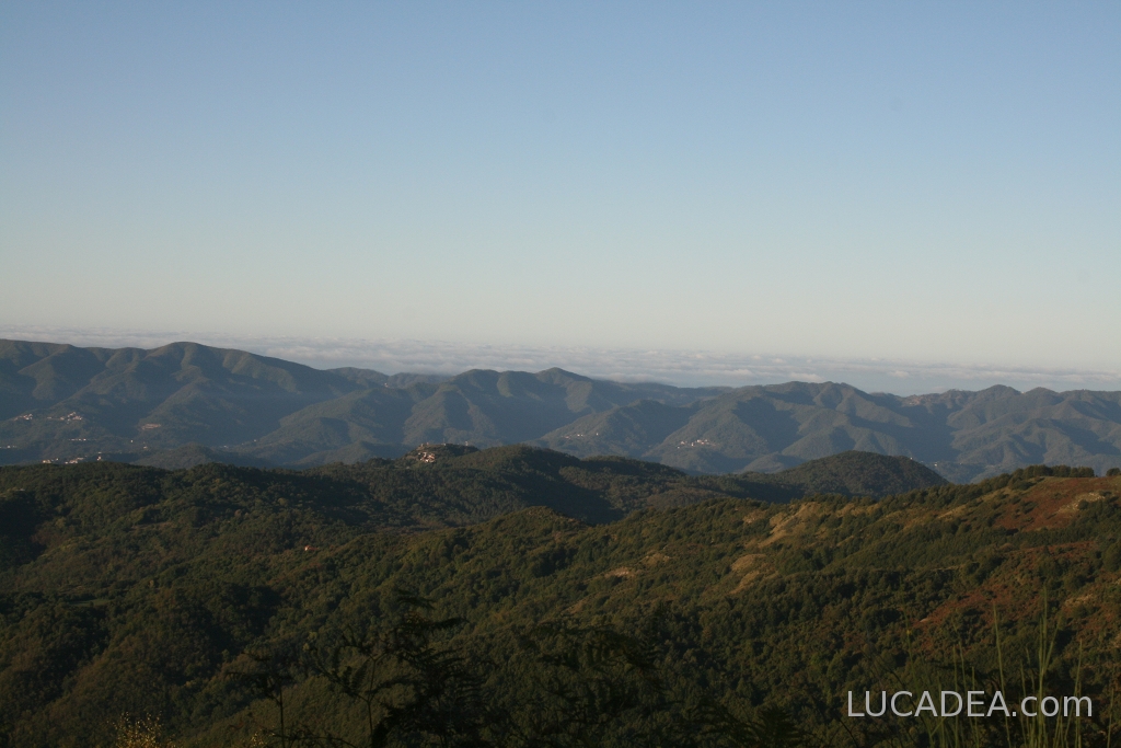
La vista è fantastica.
Da qui siamo partiti alla ricerca di funghi (mi sembra a occhio una delle cime più alte della zona).
Da qui si vedono gli Appennini che vanno da La Spezia a Genova.

appennini