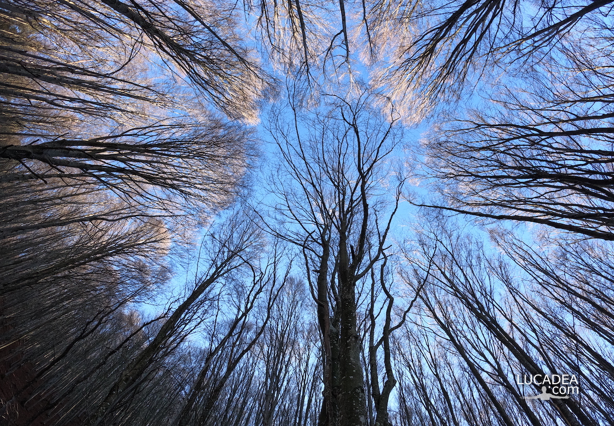
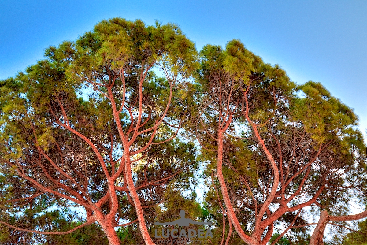
Le fronde degli alberi nella faggeta del Monte Zatta.
Qualche mese fa ormai (a fine novembre) sono stato sul Monte Zatta e ho percorso il sentiero da anello che parte dal Passo del Bocco.
Veramente una bella passeggiata di circa dieci chilometri (che ho percorso in cinque ore senza correre) che attraversa il bellissimo bosco quasi interamente composto da faggi. Una delle più belle faggete di Liguria.
Sei mai stato su questo sentiero? Se hai domande oppure se vuoi farmi sapere la tua opinione su questo articolo lascia un commento cliccando here.
Photo taken with Gopro Hero 10 black.
I took several photos along the Monte Zatta path and if you want to see them go to this page:

To see in detail the path I took I invite you to go to wikiloc.com.
The summit of the Zatta mountain massif consists of a long wavy ridge, crossed by an easy ridge path. On the outer edges of this ridge are the Zatta di Ponente mountain (1355 m) and the Prato Pinello mountain (1390 m). Between the two ends rises the main peak, the Zatta di Levante mountain (1404 m). The southern slope is steep and stony, while the northern slope, towards the Bocco pass, has a gentler slope and is covered by a large beech forest.
Continue and learn more on Wikipedia


