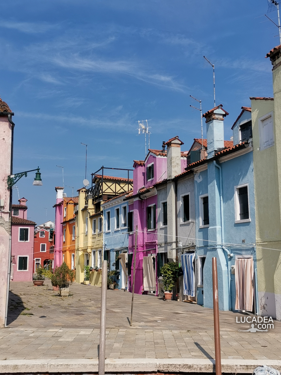
A pink house on the island of Burano near Venice.
The small colored houses are certainly the calling card of the village of Burano just near Venice.
Have you ever been to the island of Burano?
Add your own comment or go to the bottom of the site to read what other visitors have written.
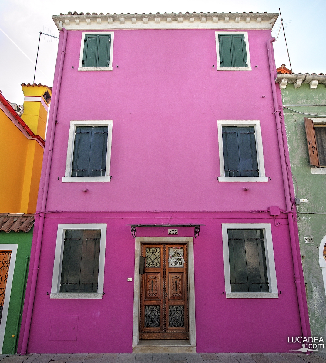
Photo taken with Canon EOS M100 and lens Canon EF-M 11-22.
There is also the official website of the island: isoladiburano.it.
To see all the photos I took on the island click here:

Burano is a town of 2,270 inhabitants that stands on four islands in the northern Venetian lagoon. It is part of the municipality of Venice and in particular of the municipality of Venice-Murano-Burano. It is connected by a bridge to the island of Mazzorbo, which has become a sort of appendix. The town is known for its typical brightly colored houses and for the centuries-old artisan needlework of Burano lace.
Continue and learn more on Wikipedia