La scalinata del Santuario di Montallegro

La scalinata del Santuario di Montallegro

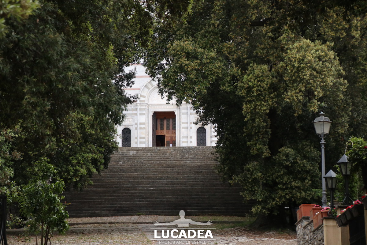
La scalinata del Santuario di Montallegro.
Arrivando al Santuario sopra a Rapallo si deve affrontare un bel sentiero che termina in una bella e ripida scalinata.

La scalinata del Santuario di Montallegro

Photo taken with Canon EOS M100 and lens Tamron 16-300.

Click here per vedere tutte le foto del Santuario:
foto gallery

Considered one of the main Marian sanctuaries in the metropolitan area of ​​Genoa and Liguria, it was built by the people of Rapallo between 1557 and 1558, together with the adjoining shelter for pilgrims, after the apparition of the Virgin Mary on 2 July 1557 to the farmer Giovanni Chichizola. The current marble façade dates back to the renovation carried out by the Milanese architect Luigi Rovelli in 1896, and inaugurated with a solemn ceremony on 21 June of that year.
Continue and learn more on Wikipedia.

Here is where the Sanctuary is located:

La baia delle Favole dalle Rocche di Sant’Anna

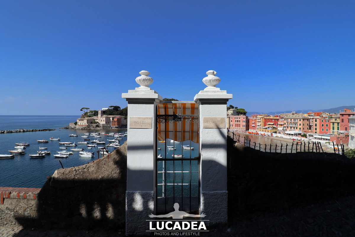
La baia delle Favole vista dalle Rocche di Sant'Anna

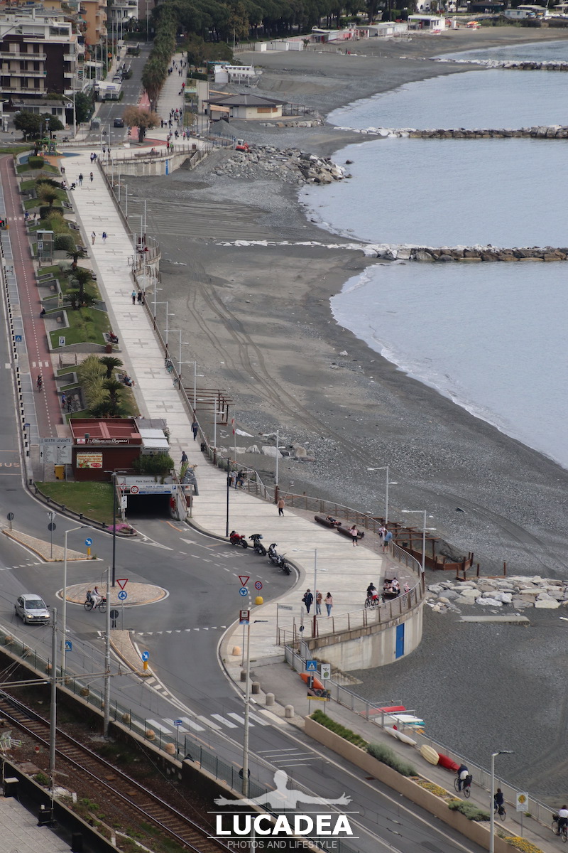
La baia delle Favole vista dalle Rocche di Sant’Anna.
Dall’ultimo giro alle Rocche di Sant’Anna mi rimangono ancora diverse immagini che piano piano inserisco.
Eccovene una delle spiagge e dei pennelli della Baia delle Favole, la meno nota delle baie sestresi ma non per questo meno bella.

Conosci questo punto panoramico di Sestri Levante? Aggiungi un comment or go to the bottom of the site to read what other visitors have written.

La baia delle Favole vista dalle Rocche di Sant'Anna

Photo taken with Canon EOS M100 and lens Tamron 16-300.

Vi lascio anche un paio di video che ho registrato lo stesso giorno:

The Bay of Favole seen from the Rocche di Sant’Anna – La baie de Favole vue depuis les Rocche di Sant’Anna – La bahía de Favole vista desde la Rocche di Sant’Anna – A Baía de Favole vista da Rocche di Sant’Anna – Die Bucht von Favole von der Rocche di Sant’Anna aus gesehen – Vịnh Favole nhìn từ Rocche di Sant’Anna – 从 Rocche di Sant’Anna 看到的 Favole 湾 – Rocche di Sant’Annaから見たファヴォーレ湾

The ridge to the east from Punta Baffe

Crinale a Levante da Punta Baffe

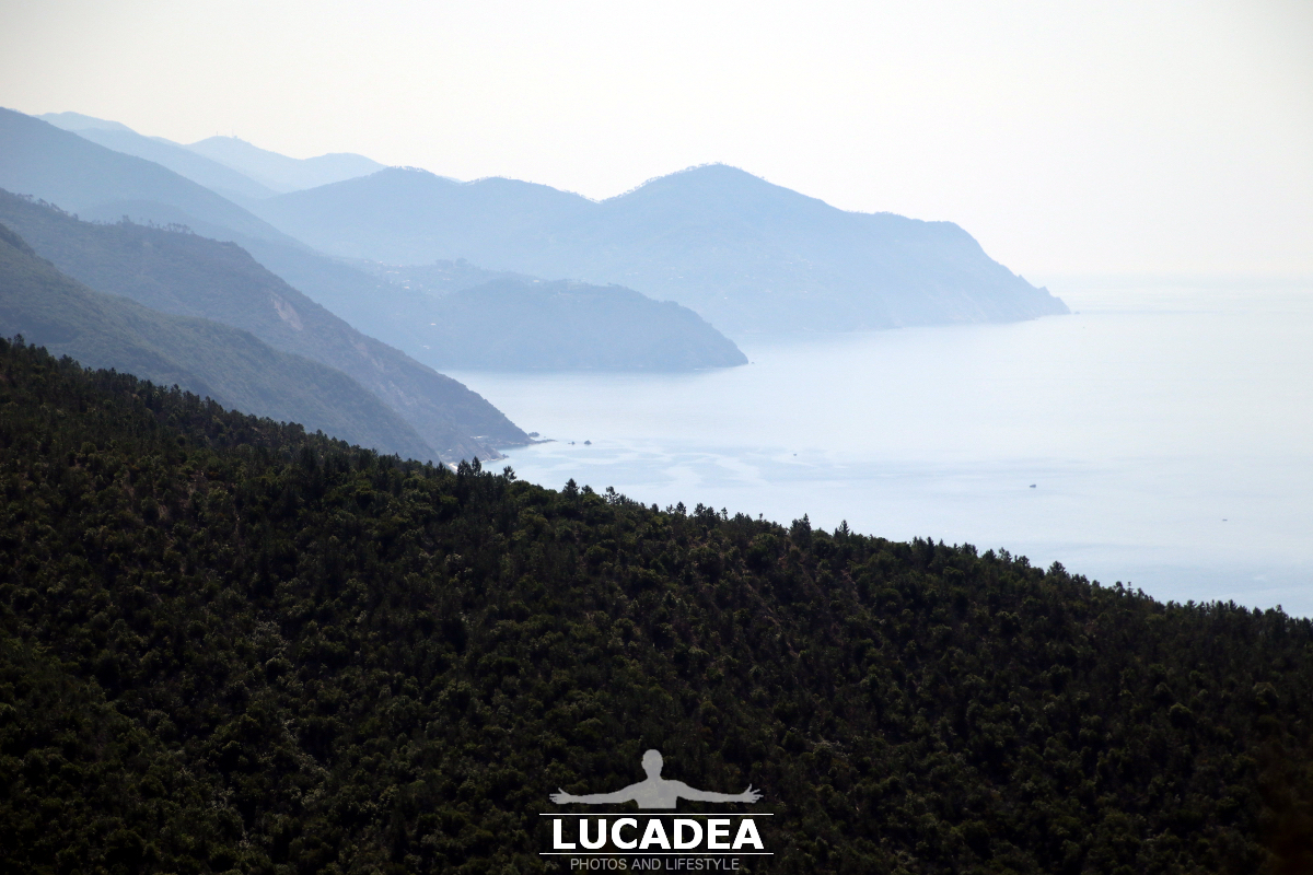
The ridge to the east from Punta Baffe.
Several months ago I took this beautiful walk along the path that goes from Riva Trigoso to Punta Baffe. Once I reached the tower I decided to return by climbing a little more and then passing by Villa Manierta.
When I reached the highest point of my route I took this beautiful photo of the first ridge and all those that stand out to the east.
The last one could be that of Punta Mesco.

Do you know Liguria?
Add your own comment or go to the bottom of the site to read what other visitors have written.

Crinale a Levante da Punta Baffe

Photo taken with Canon EOS M100 and lens Tamron 16-300.

Click here to see all the photos I took that day:
foto gallery

Questo invece è il video che ho fatto salendo:

Videos recorded with Gopro Hero5.

The ridge to the east from Punta Baffe – La crête à l’est de Punta Baffe – La cresta al este de Punta Baffe – O cume a leste de Punta Baffe – Der Bergrücken östlich von Punta Baffe – Sườn núi phía đông Punta Baffe

La spiaggia di Renà a Riva Trigoso

La spiaggia di Renà a Riva Trigoso

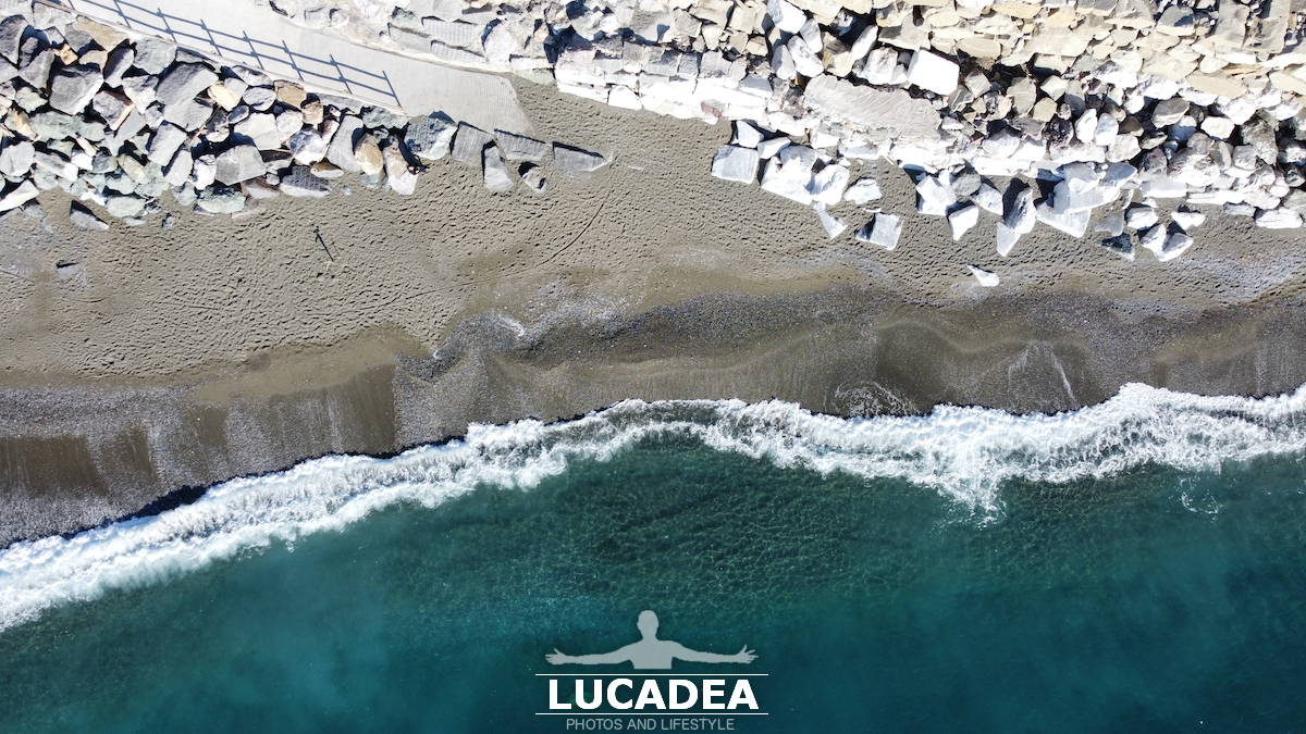
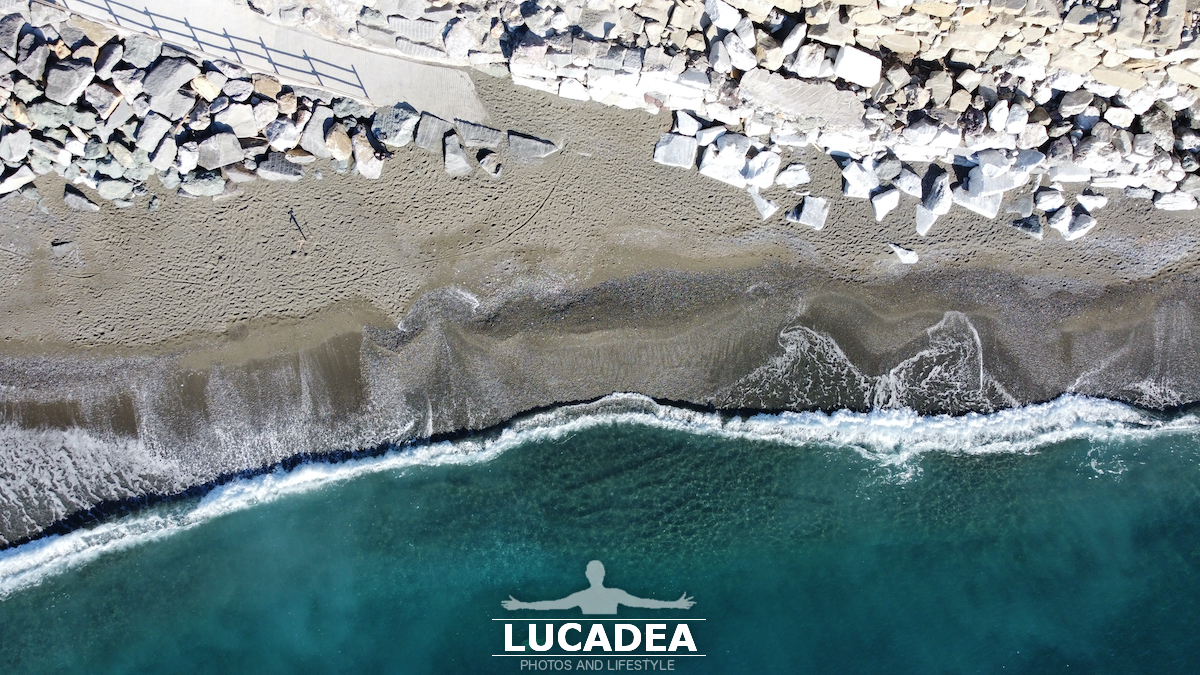
La spiaggia di Renà a Riva Trigoso.
Un paio di settimane fa, dopo mesi che me lo riproponevo, sono andato a fare qualche foto e video nella spiaggia di Renà.
La spiaggia, per chi non lo sapesse, è l’ultima a Levante del comune di Sestri Levante.
Probabilmente è anche la meno privatizzata del comune; intendo che non ci sono stabilimenti balneari numerosi come a Sestri ma forse solo uno fisso ed un paio di spiagge libere attrezzate.
C’è poca sabbia e quasi tutti sassi.
Il mare qui sa essere davvero esuberante e quasi ogni anno qualche mareggiata porta via i muraglioni che proteggono le case e la strada.

Conosci questa zona della Liguria? Aggiungi un comment or go to the bottom of the site to read what other visitors have written.

La spiaggia di Renà a Riva Trigoso

La spiaggia di Renà a Riva Trigoso

Photos taken with a drone DJI Mavic Mini.

Ed ovviamente anche un video, il primo che ho realizzato in quel pomeriggio a Renà:

Video made with drone DJI Mavic Mini.

Per chi non lo sapesse ecco dove si trova questa spiaggia:

Renà beach in Riva Trigoso – Plage Renà à Riva Trigoso – Playa Renà en Riva Trigoso – Praia Renà em Riva Trigoso – Strand Renà in Riva Trigoso – Bãi biển Renà ở Riva Trigoso

The Arch of Victory in Genoa

L'Arco della Vittoria a Genova

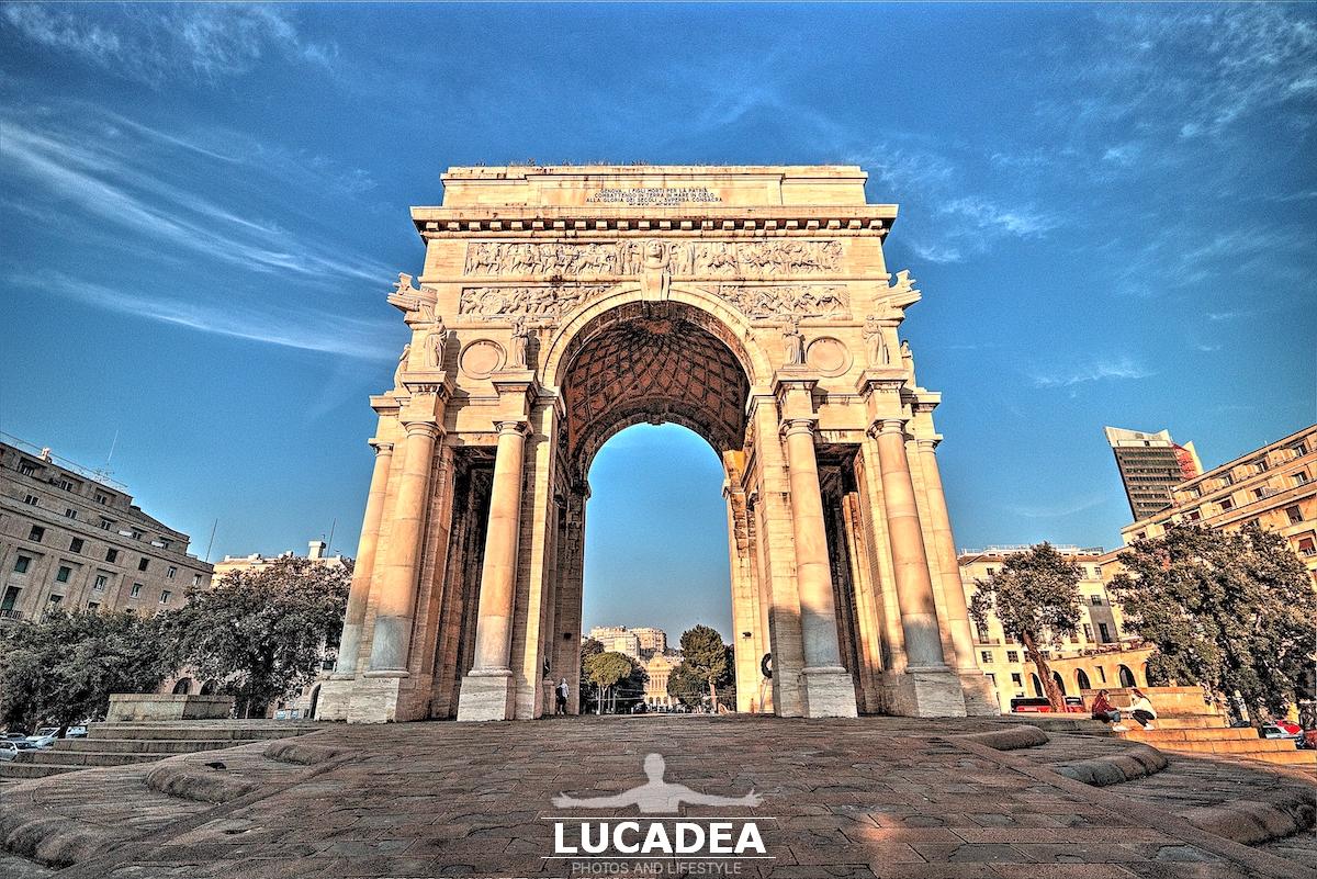
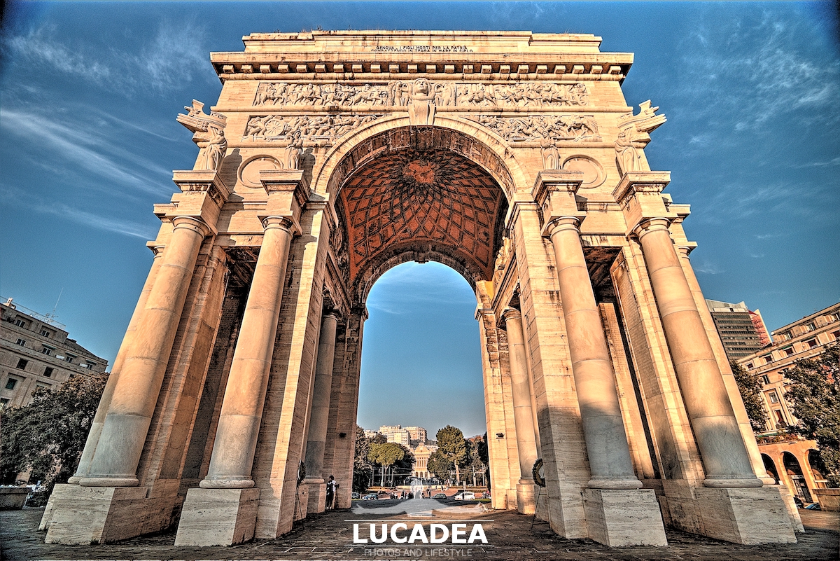
The Arch of Victory in Genoa.
Every time, or almost, that I have to go to the center of Genoa (for work or pleasure) I almost always park in Piazza della Vittoria and, always, I see this beautiful arch that dominates the entire square.
This time, since I was there for pleasure, I had my camera and, thanks to the clear sky, I took several photos of this real Arch of Triumph.
It is certainly also one of the best-known monuments in Genoa.

Do you know this monument in Genoa? Add a comment or go to the bottom of the site to read what other visitors have written.

L'Arco della Vittoria a Genova

L'Arco della Vittoria a Genova

Photo taken with Canon EOS M100 and lens Canon EF-S 10-18.

The Arch of Victory, also known as the Monument to the Fallen or the Arch of the Fallen, is an imposing triumphal arch, built during the fascist regime, located in Piazza della Vittoria in Genoa. It is dedicated to the Genoese who fell during the First World War and was inaugurated on May 31, 1931.
Continue and learn more on Wikipedia

The Arch of Victory in Genoa – L’Arc de la Victoire à Gênes – El Arco de la Victoria en Génova – O Arco da Vitória em Génova – Der Siegesbogen in Genua – Khải hoàn môn ở Genoa – 热那亚的胜利拱门 – ジェノヴァの勝利の凱旋門

Villa or castle in Santa Margherita Ligure

Villa o castello a Santa Margherita LigureVilla o castello a Santa Margherita Ligure

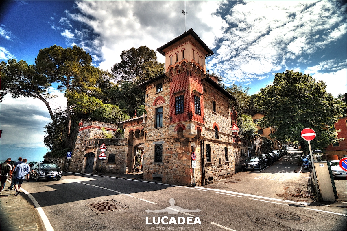
Villa or castle in Santa Margherita Ligure.
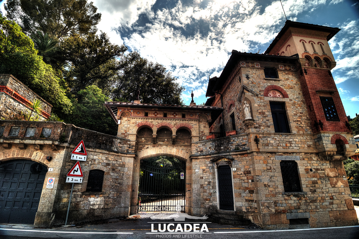
Taking a nice walk between Santa Margherita Ligure and Portofino, last summer, you come across this beautiful villa (which is perhaps a castle) just outside the city center of Santa.
Overlooking the sea and truly spectacular.
I tried to look for a name or a story but I couldn't find anything about it.

Update: A friend of my mother, Bruna G., wrote to me, which is the annex of Villa Lo Faro; the villa is further up that road and is next to the Regina Elena hotel.

If you want to write me some more information add a comment or go to the bottom of the site to read what other visitors have written.

Villa o castello a Santa Margherita LigureVilla o castello a Santa Margherita Ligure

Villa o castello a Santa Margherita Ligure

Photo taken with Canon EOS M100 and lens Canon EF-S 10-18.

To see all the photos taken that day click here:
foto gallery

Villa or castle in Santa Margherita Ligure – Villa ou château à Santa Margherita Ligure – Villa o castillo en Santa Margherita Ligure – Villa ou castelo em Santa Margherita Ligure – Villa oder Schloss in Santa Margherita Ligure – Biệt thự hoặc lâu đài ở Santa Margherita Ligure – 圣玛格丽塔利古雷的别墅或城堡 – SantaMargheritaLigureの別荘または城

Un vicolo stretto di Riomaggiore

Un vicolo stretto di Riomaggiore

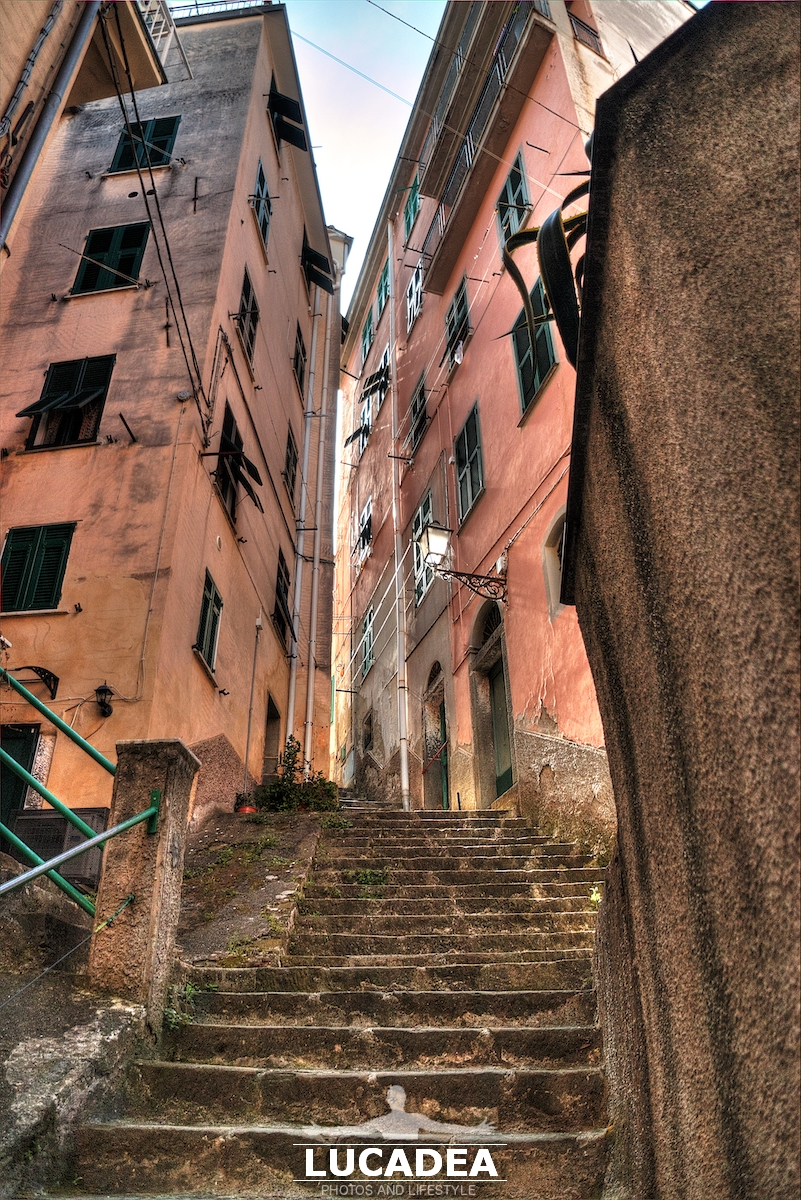
Un vicolo stretto di Riomaggiore.
La partenza del sentiero che da Riomaggiore va a Portovenere comincia decisamente in salita.
Questa era la prima scalinata che ho dovuto affrontare e vi devo proprio dire che ero moro dopo pochi minuti.
Molto suggestiva la creuza però.

Un vicolo stretto di Riomaggiore

Photo taken with Canon EOS M100 and lens Tamron 16-300.

This is just one of the many images I took during the walk along the path that goes from Riomaggiore to Portovenere and of which I have made a special page, here:
foto gallery

A narrow and steep alley in Riomaggiore, the splendid seaside village of the Cinque Terre in Liguria – Une ruelle étroite et escarpée à Riomaggiore, le splendide village balnéaire des Cinque Terre en Ligurie – Un callejón estrecho y empinado en Riomaggiore, el espléndido pueblo costero de Cinque Terre en Liguria – Um beco estreito e íngreme em Riomaggiore, a esplêndida vila costeira de Cinque Terre na Ligúria – Eine schmale und steile Gasse in Riomaggiore, dem prächtigen Küstendorf der Cinque Terre in Ligurien – Một con hẻm hẹp và dốc ở Riomaggiore, ngôi làng bên bờ biển lộng lẫy của Cinque Terre ở Liguria – 里奥马焦雷狭窄陡峭的小巷,利古里亚五渔村壮丽的海滨村庄 – リグーリア州のチンクエテッレの素晴らしい海辺の村、リオマッジョーレの狭く急な路地

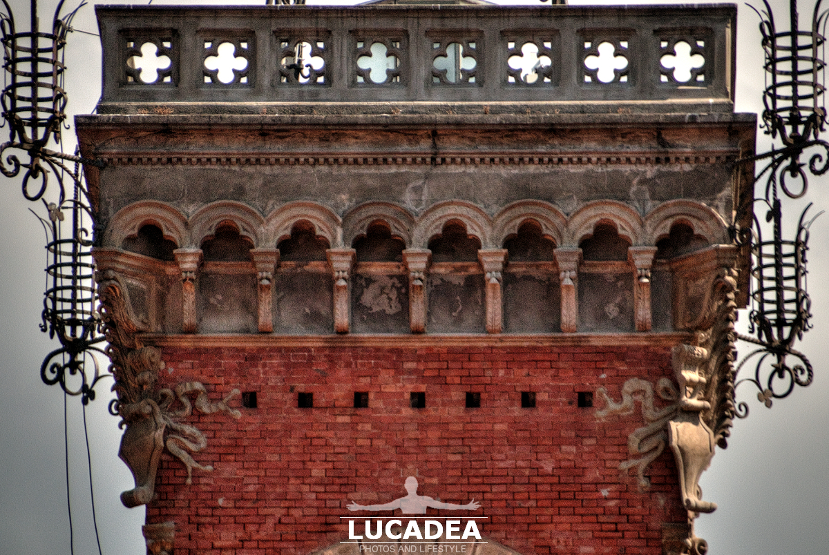
Details of the Tower of Palazzo Fascie Rossi

Particolari della Torre di Palazzo Fascie Rossi

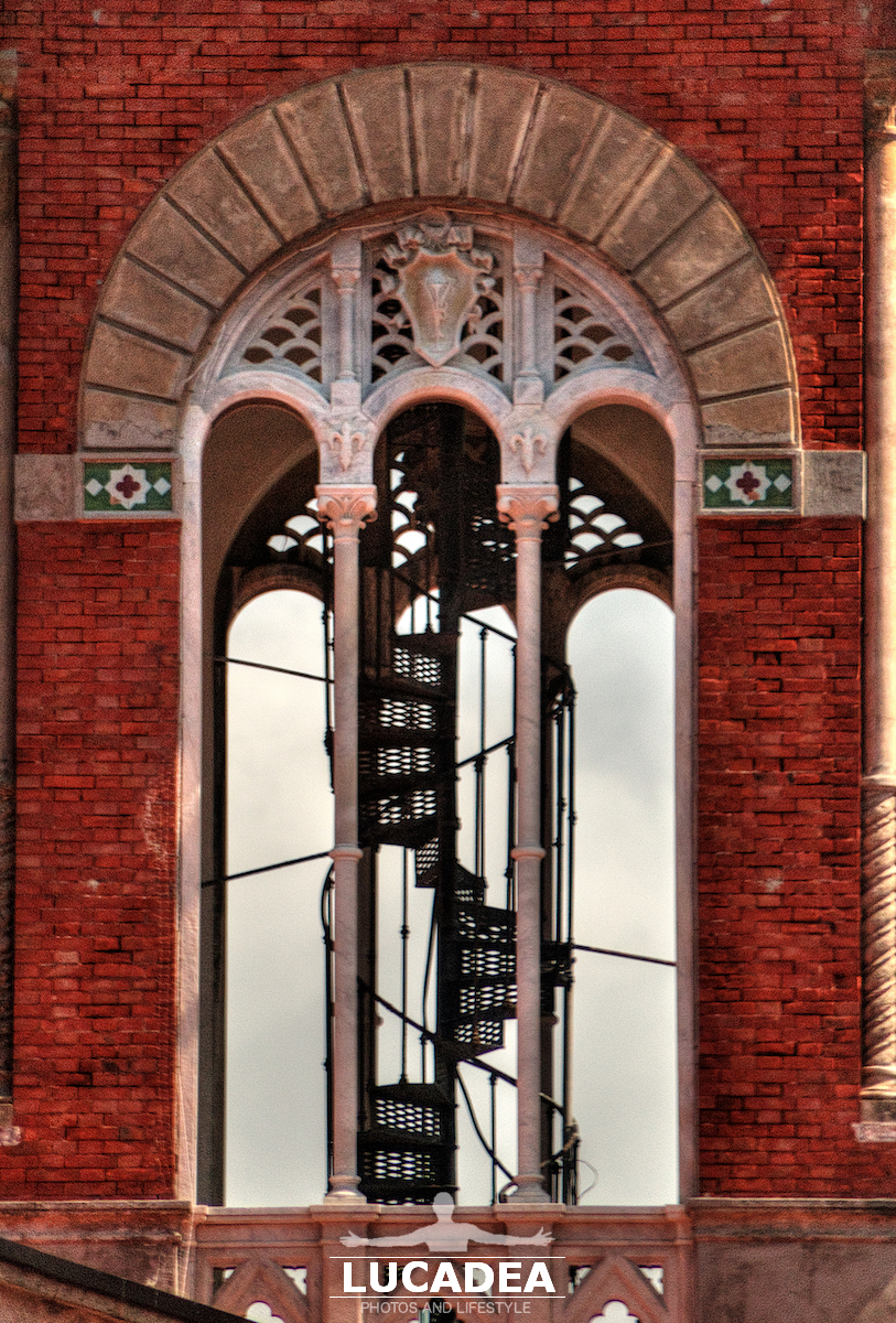
Details of the Tower of Palazzo Fascie Rossi.
It is one of the most beautiful and photographed buildings in Sestri Levante with its beautiful brick tower.
I already have several photos but perhaps not very many taken with the telephoto lens.

Have you ever been to or do you know Sestri Levante?
Add your own comment or go to the bottom of the site to read what other visitors have written.

Particolari della Torre di Palazzo Fascie Rossi

Particolari della Torre di Palazzo Fascie Rossi

Photo taken with Canon EOS M100 and lens Tamron 16-300.

Here is the website of the Palazzo Fascie.

Like many other Ligurian villages, the city dates back to the ancient people called Ligurians, more specifically called Tigulli, from which the name of the current geographical area called Tigullio. In ancient times, Sestri Levante was made up of a small island consisting of the current promontory that to the south is located overhanging the sea. This small island was, only in modern times, joined to the mainland by a thin isthmus formed by the deposits of the numerous and periodic floods of the Gromolo torrent and by the constant action of the sea.
Continue and learn more on Wikipedia

Details of the Tower of Palazzo Fascie Rossi – Détails de la tour du Palazzo Fascie Rossi – Detalles de la Torre del Palacio Fascie Rossi – Detalhes da Torre do Palazzo Fascie Rossi – Details des Turms des Palazzo Fascie Rossi – Thông tin chi tiết của Tháp Palazzo Fascie Rossi – Palazzo Fascie Rossi 塔的细节 – パラッツォ ファシー ロッシの塔の詳細

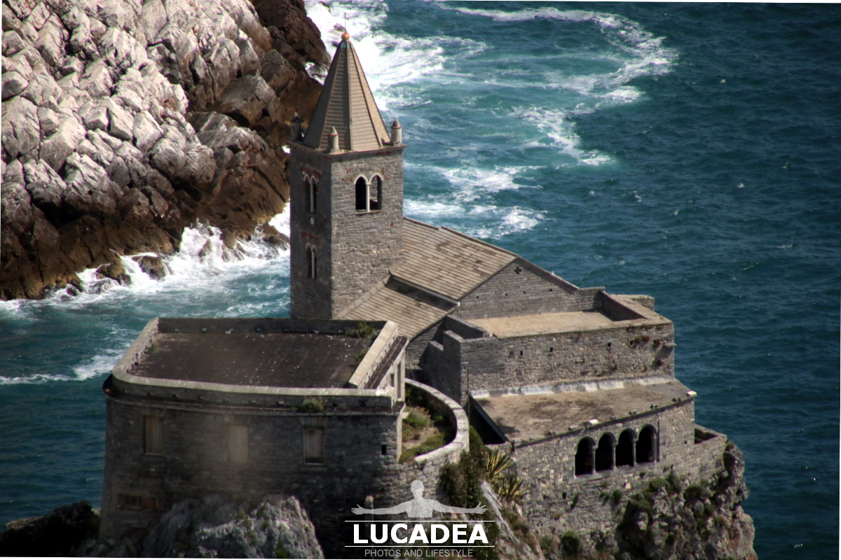
The Church of San Pietro symbol of the village of Portovenere

La Chiesa di San Pietro a Portovenere

The Church of San Pietro, symbol of the village of Portovenere.
One of the symbols of Portovenere is this religious complex that stands out on the sea and on the Palmaria Island.
Imposing and very suggestive.
The most photographed part is certainly that small portico made with those four windows (quadrifora) at the bottom right.

Do you know Portovenere? Add a comment or go to the bottom of the site to read what other visitors have written.

La Chiesa di San Pietro a Portovenere

Photo taken with Canon EOS M100 and lens Tamron 16-300.

I also recorded a short video walking around the village:

Videos recorded with Gopro Hero5.

Click here to see all the photos of the village:
foto gallery

The first Romanesque part (1198) was followed by the Gothic part with black and white banded facing which dates back to the 13th century and was built by the Genoese, probably between 1256 and 1270.
Continue and learn more on Wikipedia

The Church of San Pietro symbol of the village of Portovenere – L’église de San Pietro symbole du village de Portovenere – La Iglesia de San Pietro símbolo del pueblo de Portovenere – A Igreja de San Pietro símbolo da vila de Portovenere – Die Kirche San Pietro ist das Symbol des Dorfes Portovenere – Nhà thờ San Pietro biểu tượng của làng Portovenere – 波托维内雷村的圣彼得教堂象征 – ポルトヴェーネレ村のシンボル、サン・ピエトロ教会