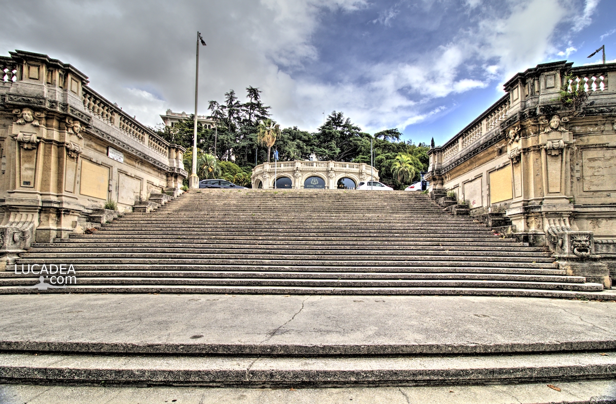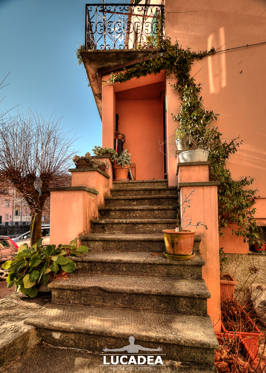
The steps of Piazza Pianciani in Spoleto.
The steps of Piazza Pianciani are one of the most suggestive corners of Spoleto, a city rich in history and culture. This staircase, built in the early twentieth century, is a fascinating example of urban architecture that combines functionality and aesthetic beauty.
The square dedicated to Luigi Pianciani, an important Italian politician and patriot, is located in front of the family palace. Until 1923, the area was characterized by a sloping lawn that allowed carts to climb towards Via Fontesecca. However, with the intention of creating a flat square, it was decided to build a staircase. After various discussions and controversies, the project of the architect Ugo Tarchi was approved, which included a double staircase with a balustrade.
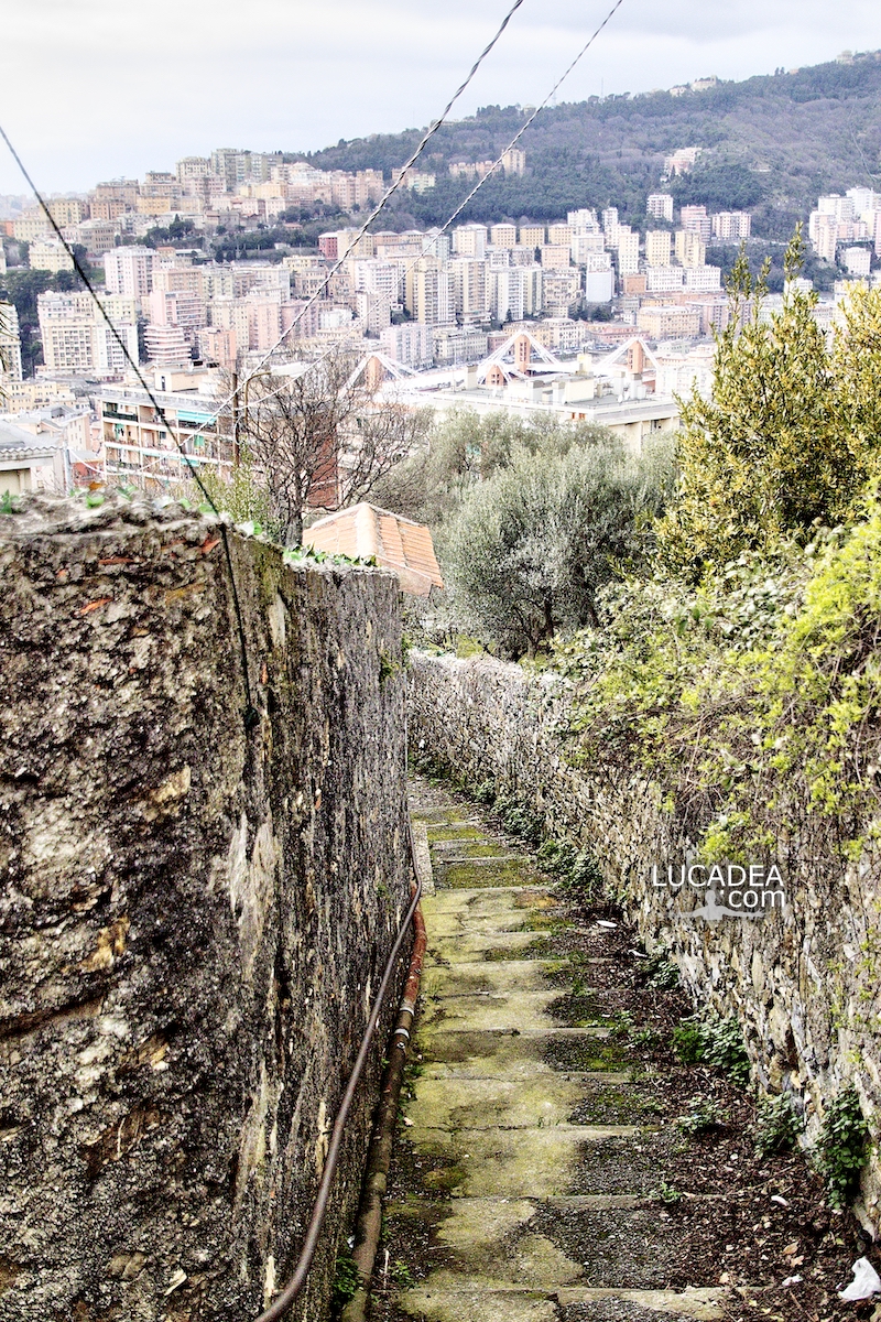
The double-arm staircase is a distinctive element of the square. It leads to Via Fontesecca, one of the most picturesque streets of Spoleto, where medieval and Renaissance buildings overlook, such as the overpass of Palazzo Leoncilli with its balconies and loggias. The staircase not only beautifies the square, but also serves as a connection between different parts of the city, making it easier for visitors to access.
Over the years, the staircase has suffered damage, including a vehicle accident that partially destroyed the left side. However, it was faithfully rebuilt and restored in 2020 thanks to the sponsorship of Lucente srl. This intervention has allowed the beauty and integrity of the staircase to be preserved, ensuring that it continues to be a point of reference for citizens and tourists.
Today, Piazza Pianciani and its staircase are places for the inhabitants of Spoleto and visitors to meet and socialize. The square is often animated by cultural events and demonstrations, making it a vital center of city life. The staircase, with its elegance and history, continues to enchant all who visit it, offering a breathtaking view of the city and a direct connection to Spoleto's historical past.
Do you know the village of Spoleto?
Add your own comment or go to the bottom of the site to read what other visitors have written.


Photo taken with Canon EOS RP and lens Canon RF 24-50.
To see all the photos I took in the city click here:

Where is the staircase located:
The double-armed staircase that embellishes the square, built in the early twentieth century, leads to one of the most evocative streets of Spoleto, via Fontesecca, where medieval and Renaissance buildings overlook: an example is the overpass of Palazzo Leoncilli, with balconies and loggias. At the top of the street you continue to the Duomo (on the left) or to Piazza del Mercato (on the right).
Continua e approfondisci sul sito del Comune
The steps of Pianciani square in Spoleto – Les marches de la place Pianciani à Spolète – Las escaleras de la plaza llamada Pianciani en Spoleto – Os degraus da praça chamada Pianciani em Spoleto – Die Stufen des Platzes namens Pianciani in Spoleto – Bậc thang của quảng trường có tên Pianciani ở Spoleto
The text of the post was written with the help of Copilot, a virtual assistant based on artificial intelligence.
References:
– https://myspoleto.it/pagina/scalinata-di-piazza-pianciani/