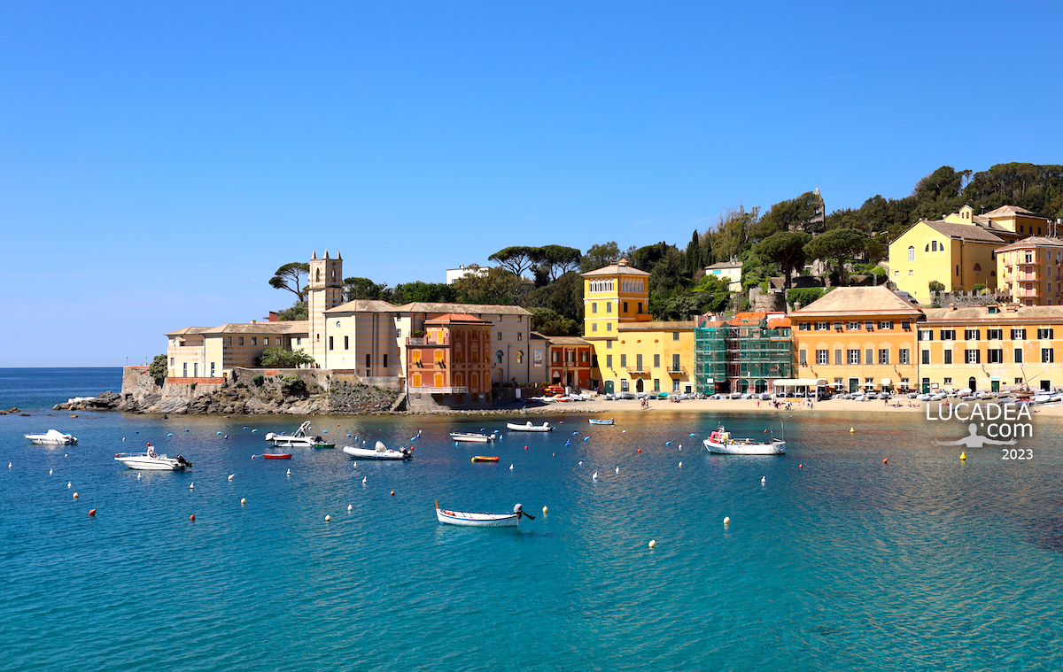
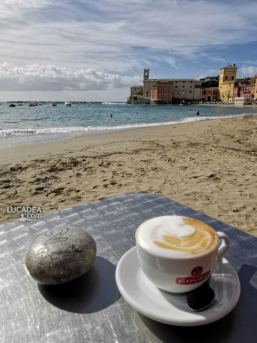
Having breakfast in the Bay of Silence in Sestri Levante. This photo, which I took some time ago (and which I had already published on social media), is of a lovely breakfast in the Bay of Silence. What's better than having breakfast "inside" the Bay?
Do you like the photo? Add a comment or go to the bottom of the site to read what other visitors have written.
Have breakfast in Baia del Silenzio in Sestri Levante – Prendre le petit déjeuner à Baia del Silenzio à Sestri Levante – Desayunar en Baia del Silenzio en Sestri Levante – Tome café da manhã em Baia del Silenzio em Sestri Levante – Frühstücken Sie in Baia del Silenzio in Sestri Levante – Ăn sáng tại Baia del Silenzio ở Sestri Levante – 在塞斯特里莱万特的 Baia del Silenzio 享用早餐 – セストリ レバンテのバイア デル シレンツィオで朝食
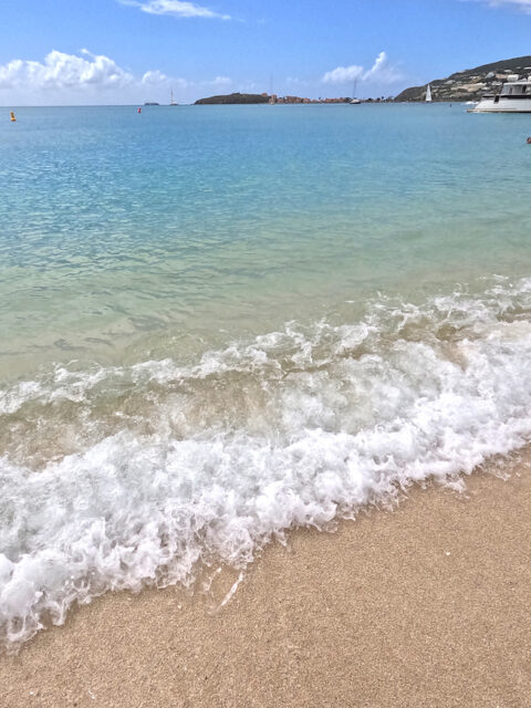
Mare da sogno: Great Bay a Philipsburg a Sint Maarten. Se non è da sogno il mare qui non so proprio voi cosa sognate! Questa è la bellissima spiaggia che si raggiunge con il taxi boat dal porticciolo di Philipsburg a Sint Maarten una delle belle isole dei Caraibi che, normalmente, sono tappa delle crociere.
E tu, sei mai stato a Sintt Maarten ai Caraibi? Lascia un commento cliccando here.
Sint Maarten è una nazione costitutiva del Regno dei Paesi Bassi che ne comprende altre tre: i Paesi Bassi e gli stati caraibici di Aruba e Curaçao. Il territorio è costituito dalla parte meridionale dell’isola di Saint Martin, situata nel sud del Mare Caraibico. Il capoluogo è Philipsburg. Sint Maarten confina a nord con Saint-Martin, una collettività d’oltremare dipendente dalla Francia, il cui territorio costituisce la parte settentrionale dell’isola. Continue and learn more on Wikipedia
Dream beaches: Great Bay in Philipsburg on the island of Sint Maarten – Plages de rêve : Great Bay à Philipsburg sur l’île de Sint Maarten – Playas de ensueño: Great Bay en Philipsburg en la isla de Sint Maarten – Praias dos sonhos: Great Bay em Philipsburg, na ilha de Sint Maarten – Traumstrände: Great Bay in Philipsburg auf der Insel Sint Maarten – Những bãi biển trong mơ: Great Bay ở Philipsburg trên đảo Sint Maarten – 梦幻海滩:圣马丁岛菲利普斯堡的大湾 – 夢のビーチ: シント マールテン島のフィリップスバーグにあるグレート ベイ
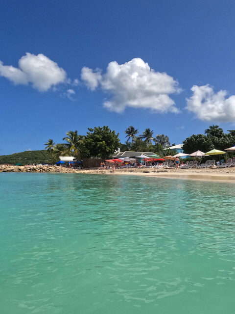
Mare da sogno: Dickenson’s Bay ad Antigua. Una delle spiaggie più belle delle crociere ai Caraibi è sicuramente quella di Dickenson’S ad Antigua. E come potete vedere dalla foto, a poche decine di bracciate dalla riva, c’è anche un baretto con musica! Tranquilli c’è anche una barchetta che fa la spola dalla spiaggia!
Sei mai stato ad Antigua oppure ai Caraibi o hai mai sognato di farlo? Aggiungi un tuo comment or go to the bottom of the site to read what other visitors have written.
Antigua è un’isola delle Piccole Antille, appartenente allo Stato di Antigua e Barbuda. Ha una superficie di 280 km² ed una popolazione di circa 80 161 abitanti. La capitale dell’isola è Saint John’s, che è anche la capitale nazionale. Continue and learn more on Wikipedia
Ecco dove si trova questa splendida spiaggia:
Dream sea: Dickenson Bay in Antigua – Mer de rêve : Dickenson Bay à Antigua – Mar de ensueño: Bahía Dickenson en Antigua – Mar dos sonhos: Dickenson Bay em Antígua – Traummeer: Dickenson Bay in Antigua – Biển mơ: Vịnh Dickenson ở Antigua – 梦幻之海:安提瓜迪金森湾 – 夢の海:アンティグアのディケンソン湾
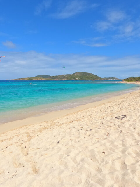
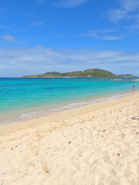
Spiagge da sogno: Long Bay a Tortola. Per la seconda volta in vita mia vengo in questa bella spiaggia dei Caraibi che si trova nella piccola isola chiamata Beef Island (spiaggia dei manzi) collegata alla più grande e famosa isola di Tortola. Il mare era un poco piu’ mosso della volta scorsa ma i colori… quelli si sono sempre quelli da sogno dei Caraibi. Una spiaggia di 700 metri molto frequestata ma che comunque, nella parte che va verso l’aeroporto, ha ancora un po’ di fascino dell’incontaminato.
Sei mai stato ai Caraibi? Lascia un commento cliccando here.
L’isola di Tortola è la più grande e popolosa delle Isole Vergini britanniche, un gruppo di isole che fa parte dell’arcipelago delle Isole Vergini[1]. Al censimento del 2010 la popolazione dell’isola era di 23 491 persone. Sull’isola si trova la cittadina di Road Town, capoluogo delle Isole Vergini britanniche, uno dei Territori d’oltremare britannici. Continue and learn more on Wikipedia
Dream beaches: Long Bay in Tortola – Plages de rêve : Long Bay à Tortola – Playas de ensueño: Long Bay en Tortola – Praias dos sonhos: Long Bay em Tortola – Traumstrände: Long Bay in Tortola – Những bãi biển trong mơ: Vịnh Long ở Tortola – 梦幻海滩:托尔托拉岛的长湾 – 夢のビーチ: トルトラ島のロングベイ
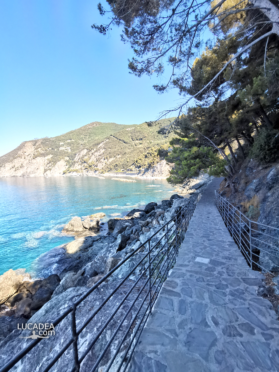
La panoramica passeggiata del borgo di Framura in Liguria. Se vi trovate nella Liguria di Levante e volete farvi un bagno in acque pulite e non troppo frequentate (attenzione pero’ che ad agosto anche qui c’e’ un carnaio) vi consiglio di prendere il treno e fare il biglietto fino a Framura. Arrivati alla stazione, scendete dal sottopassaggio che sbuca direttamente nella passeggiata a mare. Tracento metri di splendida Liguria con, al termine, una bella spiaggetta!
Conosci o sei mai stato a Framura? Aggiungi un comment or go to the bottom of the site to read what other visitors have written.
Situated on the Ligurian coast, the small town of Framura is located within one of the many inlets and coves, typical of the rugged coast of the eastern Ligurian Riviera. Mount Serro (421 m. above sea level) is the highest peak in the Framura area and belongs to the protected area of the Cinque Terre. Continue on Wikipedia
The panoramic walk of the village of Framura in Liguria – La promenade panoramique du village de Framura en Ligurie – El paseo panorámico del pueblo de Framura en Liguria – O passeio panorâmico da aldeia de Framura na Ligúria – Der Panoramaweg des Dorfes Framura in Ligurien – Toàn cảnh đi bộ của làng Framura ở Liguria – 利古里亚 Framura 村全景步道 – リグーリア州フラムーラ村のパノラマ ウォーク
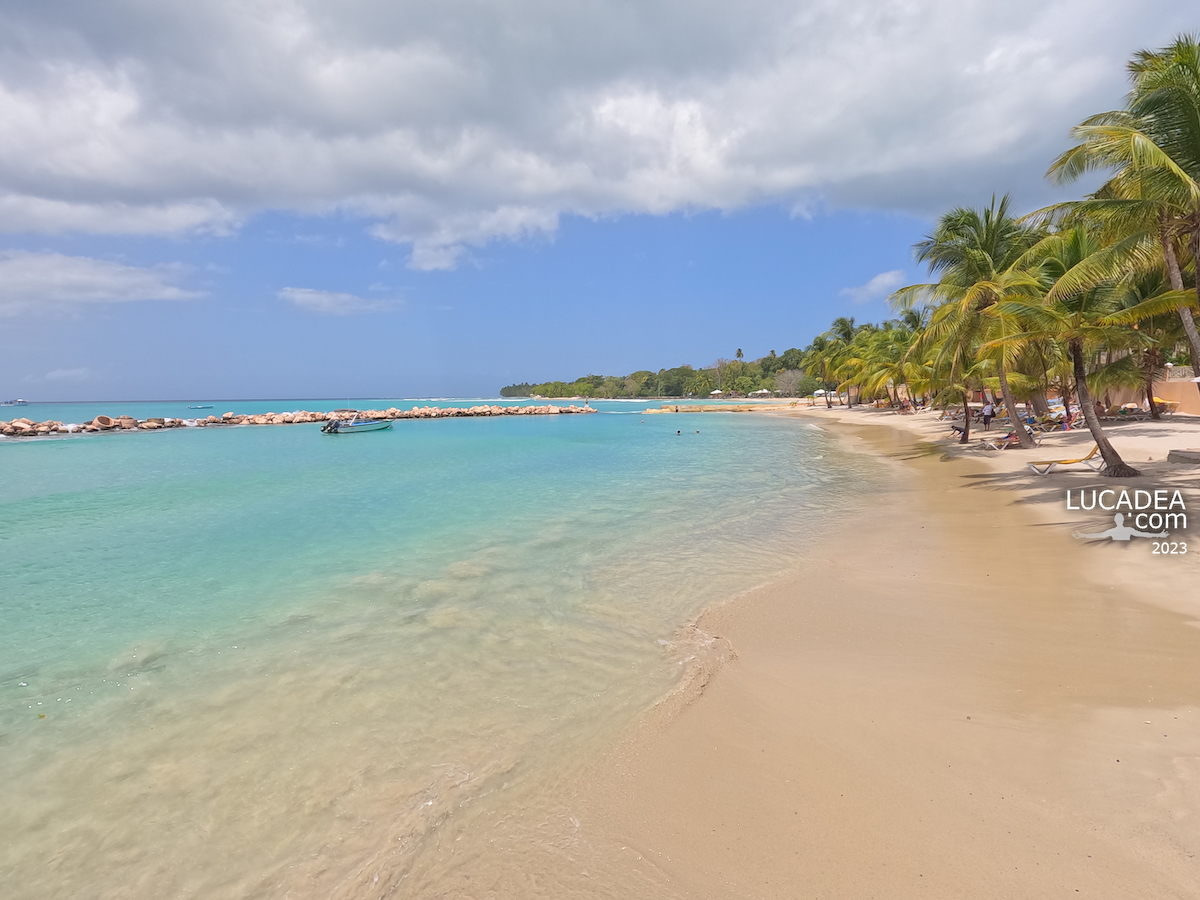
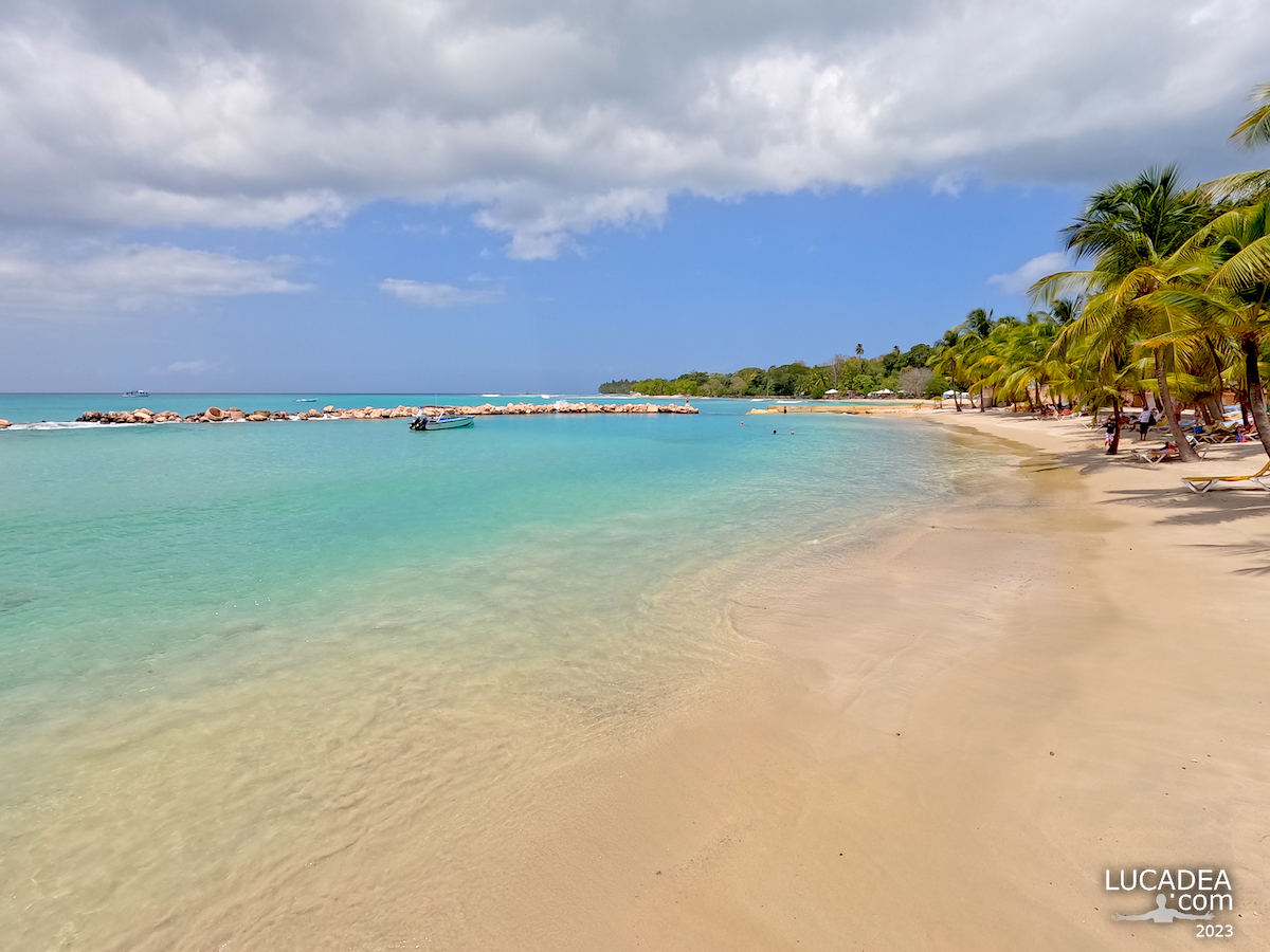
Spiagge da sogno: Accra Beach a Bridgetown a Barbados. Non riesco ad uscire moltissimo dalla nave ma, quando lo faccio, cerco sempre di andare al mare (essendo ai Caraibi…). Qualche mese fa sono stato a visitare la bella spiaggia chiamata Accra Beach (o Rockley Beach), a pochi chilometri dal porto di Bridgetown nell’isola di Barbados. Inutile, credo, spiegarvi molto su questa spiaggia: si capisce tutto delle immagini!
Sei mai stato ai Caraibi o ci vorresti andare? Aggiungi un comment or go to the bottom of the site to read what other visitors have written.
L’origine del nome “Barbados” è piuttosto controversa. I portoghesi, in rotta per il Brasile o gli spagnoli, furono accreditati come i primi europei a scegliere il nome dell’isola. Pare che il nome Barbados derivi dal termine portoghese os barbados (i barbuti), dato all’isola nel 1536 dall’esploratore portoghese Pedro A. Campos perché le lunghe radici aeree pendenti degli alberi di fico barbuto (Ficus citrifolia), originario dell’isola, sembravano “barbe”. Il nome che gli indigeni Arawak attribuivano all’isola era Ichirouganaim. Continue and learn more on Wikipedia
Dream beaches: Accra Beach in Bridgetown in Barbados – Plages de rêve : Accra Beach à Bridgetown à la Barbade – Playas de ensueño: Accra Beach en Bridgetown en Barbados – Praias dos sonhos: Accra Beach em Bridgetown em Barbados – Traumstrände: Accra Beach in Bridgetown auf Barbados – Những bãi biển trong mơ: Bãi biển Accra ở Bridgetown ở Barbados – 梦幻海滩:巴巴多斯布里奇敦的阿克拉海滩 – 夢のビーチ: バルバドスのブリッジタウンにあるアクラ ビーチ
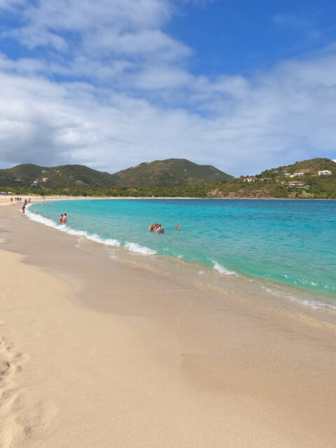
Dream beaches: Pointe Marin in Martinique. One of the few new beaches I managed to visit in the last Caribbean season of my work was the beautiful Pointe Marin, in the south of the island of Martinique. Unfortunately the day was a little cloudy but, when the sun came out, the colors were really exceptional and postcard-like, don't you think?
Have you ever been to the Caribbean and Martinique? Add your own comment or go to the bottom of the site to read what other visitors have written.
Martinique (French: Martinique, Antillean Creole: Matinik, Matnik, or Lamatinik) is an island in the Antilles, a French overseas department (capital: Fort-de-France). It is located 14° 40′ north of the Equator and 61° west of the Greenwich Meridian in the heart of the Caribbean archipelago and belongs to the Lesser Antilles and more precisely is part of the Leeward Islands. Its coasts are bathed to the east by the Atlantic Ocean and to the west by the Caribbean Sea. Continue and learn more on Wikipedia
Dream beaches: Pointe Marin in Martinique – Plages de rêve : Pointe Marin en Martinique – Playas de ensueño: Pointe Marin en Martinica – Praias dos sonhos: Pointe Marin na Martinica – Traumstrände: Pointe Marin auf Martinique – Những bãi biển trong mơ: Pointe Marin ở Martinique – 梦幻海滩:马提尼克岛的 Pointe Marin – 夢のビーチ: マルティニーク島のポワント マリン
Il Covo di Nord Est a Santa Margherita Ligure. Una delle discoteche più conosciute della Liguria ma anche spiaggia privata con il ristorante a picco sul Mar Ligure. Di qui è passata la storia del jetset italiano. Questo è il link al sito ufficiale: covodinordest.it.
Sei mai stato al Covo? Aggiungi un comment or go to the bottom of the site to read what other visitors have written.
The North East Cove in Santa Margherita Ligure – Le Covo nord-est de Santa Margherita Ligure – La cala del noreste en Santa Margherita Ligure – A North East Cove em Santa Margherita Ligure – Die nordöstliche Bucht in Santa Margherita Ligure – Vịnh Đông Bắc ở Santa Margherita Ligure圣玛格丽塔利古雷的东北湾 – サンタ マルゲリータ リグレのノース イースト コーブ
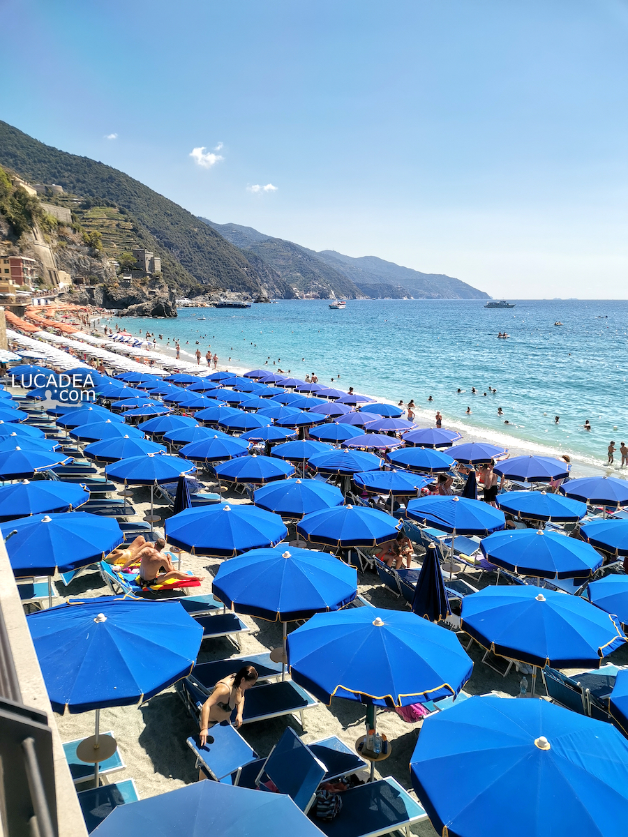
The isolated rock of Fegina in Monterosso al Mare One of the classic photos taken in Monterosso is that of the isolated rock that dominates the main beach of the first of the Cinque Terre. When you arrive in the village, usually from the train station, you appear right in front of the beach and, on the left, the majestic rock appears. This photo, taken several months ago, is the classic one with the umbrellas assaulted by tourists!
Do you know Monterosso and the Cinque Terre? Add your own comment or go to the bottom of the site to read what other visitors have written.
The isolated rock of Monterosso in the Cinque Terre – Le rocher isolé de Monterosso dans les Cinque Terre – La roca aislada de Monterosso en Cinque Terre – A rocha isolada de Monterosso em Cinque Terre – Der isolierte Felsen von Monterosso in den Cinque Terre – Tảng đá biệt lập của Monterosso ở Cinque Terre – 五渔村蒙特罗索的孤立岩石 – チンクエテッレのモンテロッソの孤立した岩
Mare da sogno: le calette lungo la passeggiata di Framura. L’estate scorsa, dopo molto tempo che me lo ripromettevo, sono finalmente stato al mare a Framura, il piccolissimo paese verso le Cinque Terre. Si arriva alla stazione ferroviaria e poi, attraverso il sottopassaggio della stessa, si raggiunge la piccola passeggiata a mare che collega le varie calette e le incantevoli spiaggette. Armatevi di maschere e pinne perche’ ne vale proprio la pena e, se non volete spendere qualche euro per un lettino ed ombrellone (e si’ incredibilmente ci sono anche quelli a disposizione) portatevi molta crema solare!
Conosci o sei mai stato a Framura? Aggiungi un comment or go to the bottom of the site to read what other visitors have written.
Situated on the Ligurian coast, the small town of Framura is located within one of the many inlets and coves, typical of the rugged coast of the eastern Ligurian Riviera. Mount Serro (421 m. above sea level) is the highest peak in the Framura area and belongs to the protected area of the Cinque Terre. Continue on Wikipedia
Here's where the walk is located:
Dream sea: the coves along the Framura promenade – Mer de rêve : les criques le long de la promenade de Framura – Mar de ensueño: las calas del paseo Framura – Mar dos sonhos: as enseadas ao longo do calçadão de Framura – Traummeer: die Buchten entlang der Framura-Promenade – Biển mơ: những vịnh nhỏ dọc theo lối đi dạo Framura – 梦幻之海:沿着 Framura 长廊的小海湾 – 夢の海:フラムラ遊歩道沿いの入り江