
Several photos of the splendid circular path that starts from the Passo del Bocco and leads to the various peaks of Monte Zatta.
A not very challenging path, about ten kilometers in five hours (going slowly), in the splendid beech forest along a stretch of the Alta Via dei monti Liguri.
Photo taken with Canon EOS M100 and lens Tamron 16-300.


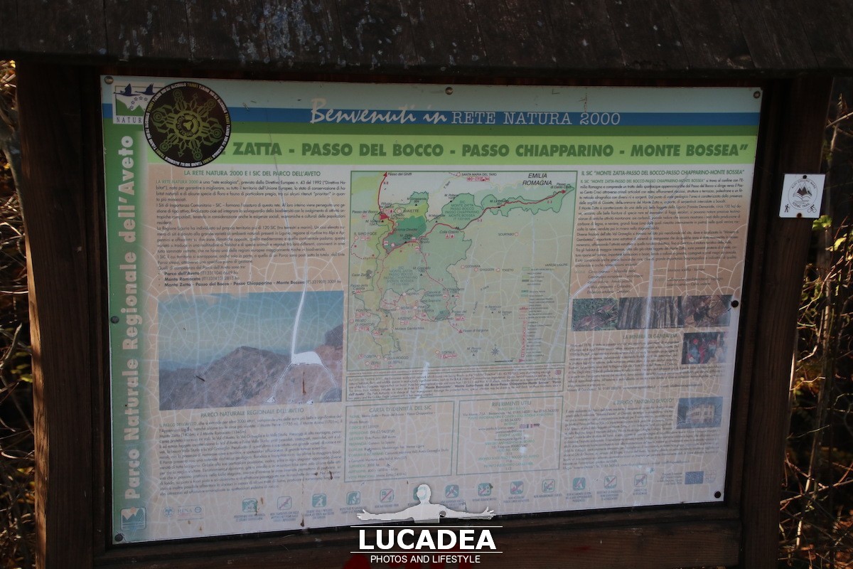
The summit of the Zatta mountain massif consists of a long wavy ridge, crossed by an easy ridge path. On the outer edges of this ridge are the Zatta di Ponente mountain (1355 m) and the Prato Pinello mountain (1390 m). Between the two ends rises the main peak, the Zatta di Levante mountain (1404 m). The southern slope is steep and stony, while the northern slope, towards the Bocco pass, has a gentler slope and is covered by a large beech forest.
Continue and learn more on Wikipedia
These are all the photos of the places I have visited, and some of my friends, around the world: photo gallery.
If you want to see the most purchased books in the last hour on Amazon related to travel click here.
If you like reading and looking for ideas for your next trip, I invite you to see the following guides: Mondo. Guida per viaggiatori, Il giro del mondo in 52 week end or Come fare il primo cammino di Santiago.
To learn more about our privacy and cookies policy, go to the bottom of the site.
This page has had 36 views total.